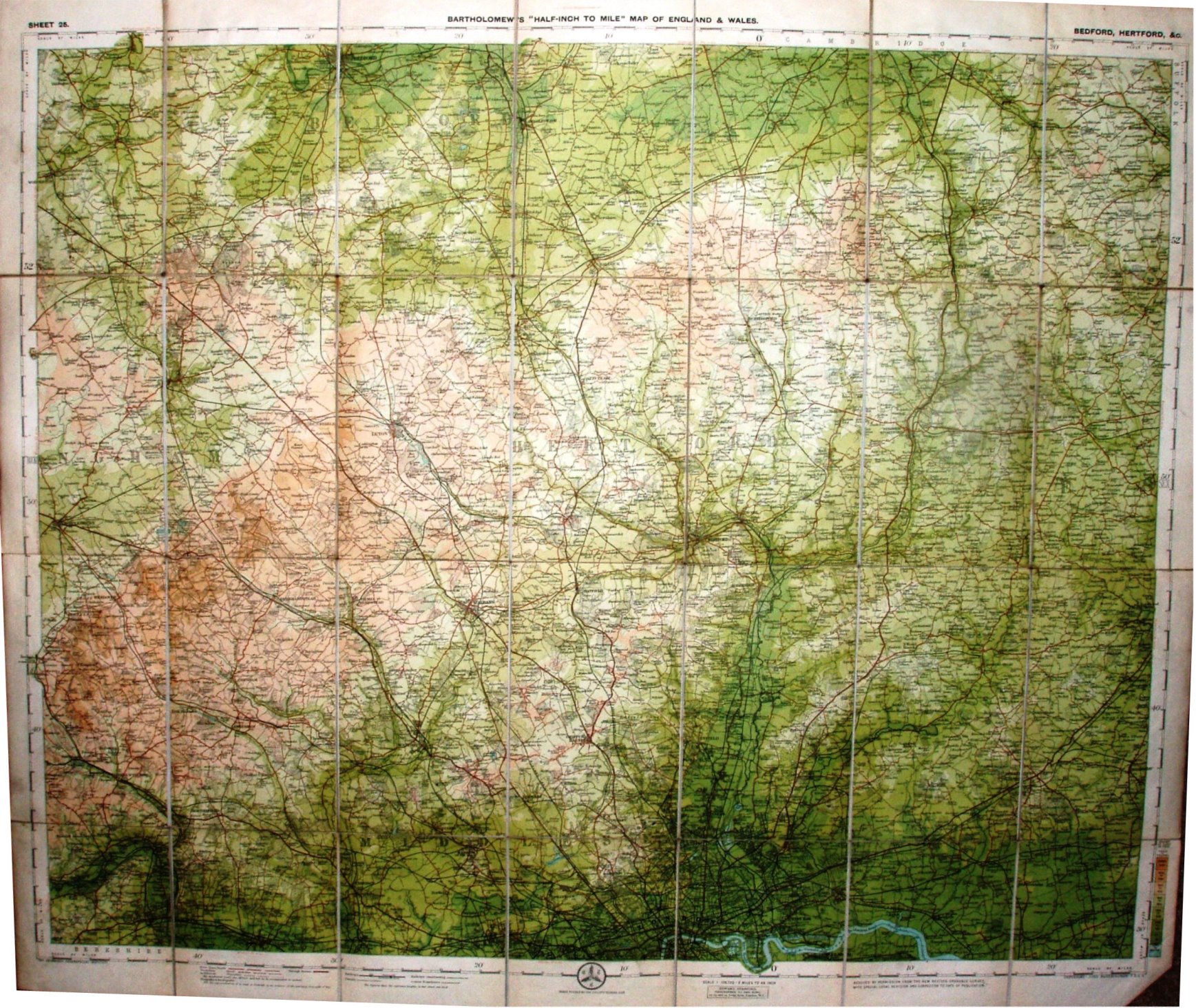
Sheet 25 - Bartholomew's "Half Inch to Mile" Map of England & Wales - Bedford, Hertford, &c
The same map as discussed in the three part Sheet 25 1904 - 1912 above, but this time in Stanford's own covers. No prices shown, and the date is no more than an estimate within 1904-1912.
Scale of 10 miles = 127.1mm, or 2.0 miles/inch, ie 1:126,720.
Roads revised by The Cyclists Touring Club. Copyright - John Bartholomew FRGS.
The railway lines include the Chigwell Loop line (opened 1903) but not the Thaxted branch (1913).