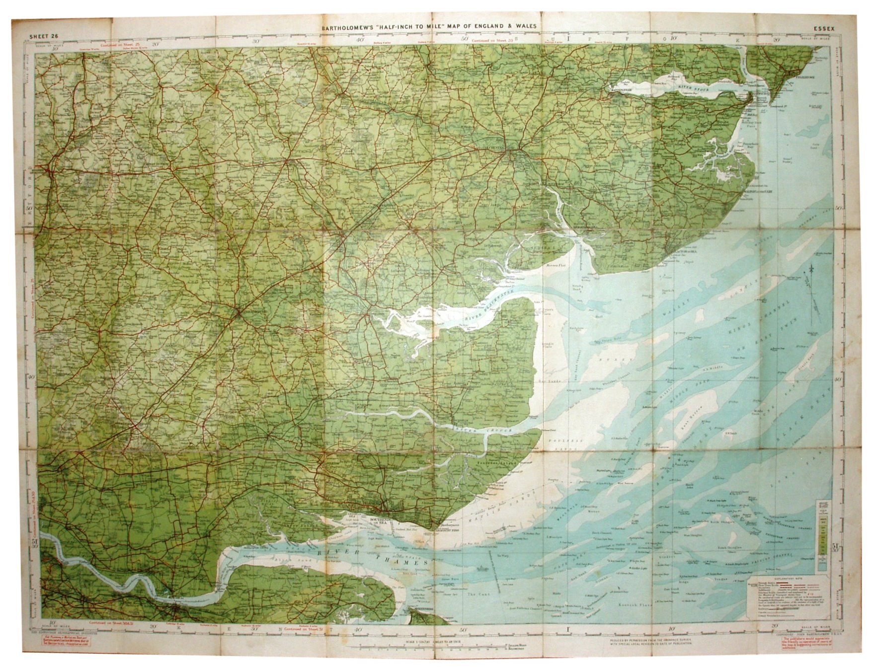
Sheet 26 - Bartholomew's "Half Inch to Mile" Map of England & Wales - Essex
Explanatory note in the bottom right corner that defines Through Route, First Class, Secondary (Good) and Indifferent (Passable to Cyclists) classes of roads. The Through Route, First Class and Secondary roads are bracketed as being Motoring Roads. Also "Principal Roads classified and numbered by the Ministry of Transport shown thus" (followed by A12 in red).
Scale of 5 miles = 63.3mm, or 2.0 miles/inch, ie 1:126,720.
There is now no reference to The Cyclists Touring Club.
John Bartholomew FRGS. Map has code A29, ie printed first half of 1929.