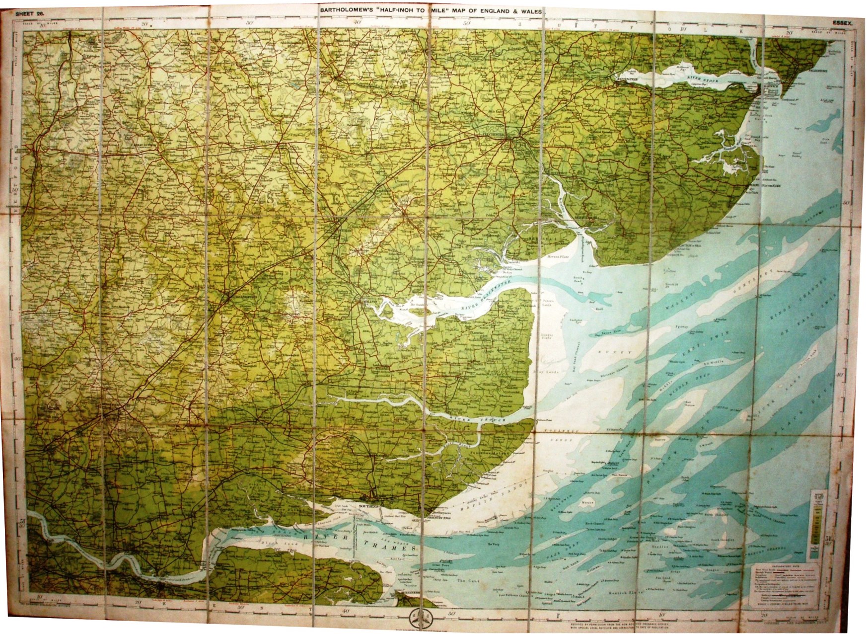
Sheet 26 - Bartholomew's "Half Inch to Mile" Map of England & Wales - Essex
An unusual plain cover, with an attached black label saying Sheet 26 and Essex.
Explanatory note in the bottom right corner that defines Through Route, First Class, Secondary (Good) and Indifferent (Passable) classes of roads. The note states that the scale is 1:253,340, ie 4 miles to the inch, but it's wrong!
Scale of 6 miles = 76mm, or 2.0 miles/inch, ie 1:126,720.
Roads revised by The Cyclists Touring Club. Copyright - John Bartholomew FRGS.
The railway lines include the Tollesbury Pier line (opened 1907) but not the Thaxted branch (1913); prices indicate 1912-1918, and hence the assigned date.