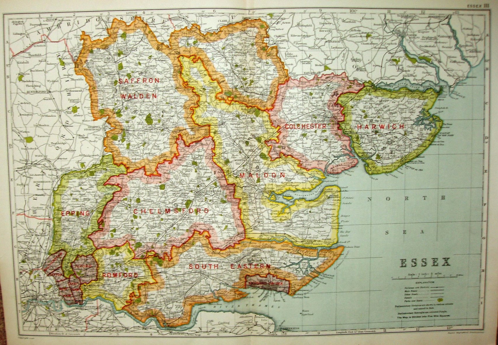
Bacon's County Atlas of England and Wales
Presumably the same Atlas as before - it is certainly the same size and scale. This one has the same reference top right corner ("Essex III") as the 1924 1st map.
Displayed scale 10 miles = 63.5mm, or 4.0 miles/inch; actual scale = 3.9 miles/inch, or 1:250,000.
The symbols in the "Explanation" have been changed, and the notes about the 1921 Railway Act have gone, but otherwise it's the same as in 1924 (?).