Bacon's County Map and Guide of Essex
Folding map with booklet, aimed at cyclists, with much text on Essex (political, physical, geological, industrial, antiquities and places of interest) and principal towns, plus 1901 populations.
Dismounted woman consulting map by a milestone whilst car passes. Dull pink cover, printed only in black. Main roads in brown, and county edge-coloured in pale brown.
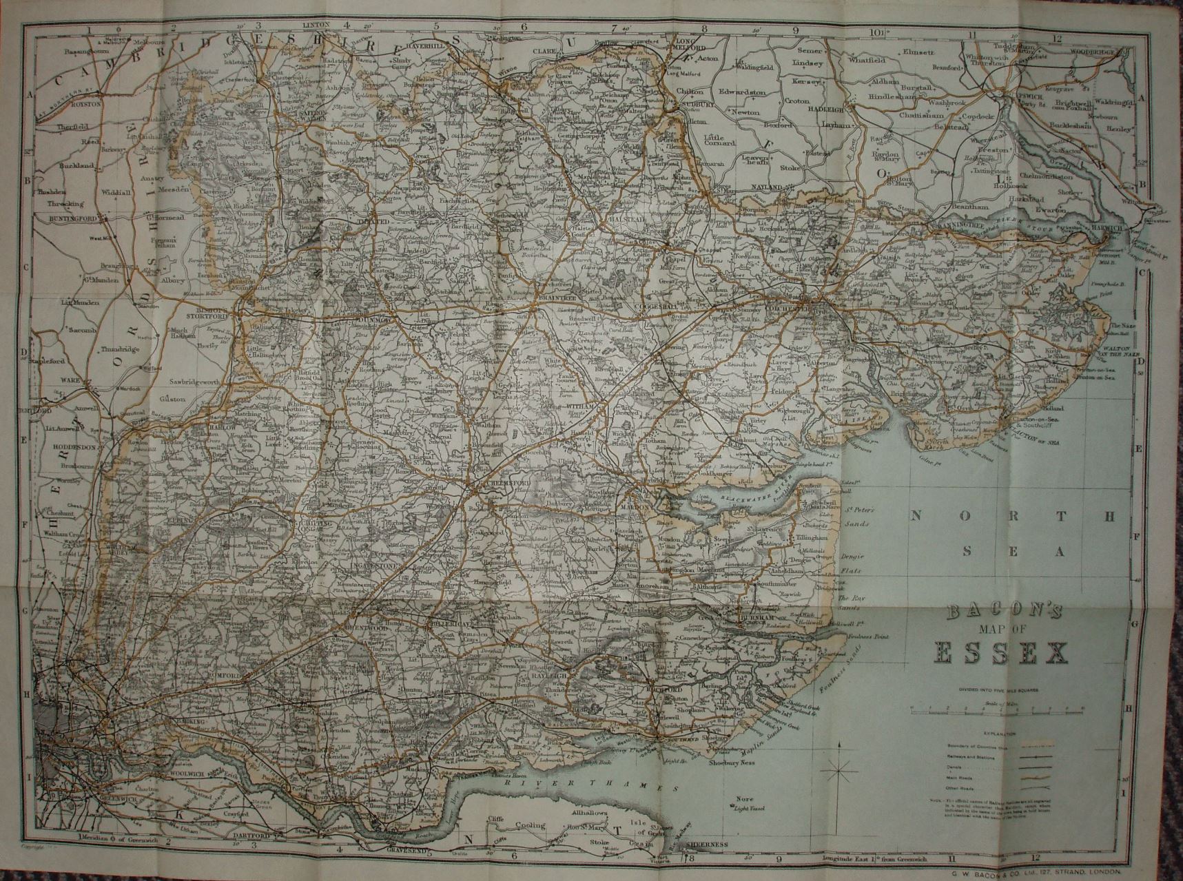
Scale correct at 10 miles = 94mm, or 2.7 miles/inch, ie 1:170,000.
The reference table has the same 5 symbols as in 1911 version. The railway lines include the Thaxted branch (opened 1913) but also with projected extensions that were never built.
In the bottom left corner there is "Copyright", followed by a print code: 1.12 25 - which I take to mean printed 1912. The 1911 and 1913 with the same cover have no print codes.