Bacon's County Map and Guide of Essex
Folding map with booklet, aimed at cyclists, with much text on Essex (political, physical, geological, industrial, antiquities and places of interest) and principal towns, plus 1901 populations.
The man and the woman are still dismounted standing next to the drop-handlebar bicycles next to a shoreline, but it is now a monochrome picture on pale brown background. Main roads in brown, and county edge-coloured in brown.
Print code in the bottom left - 20B10.
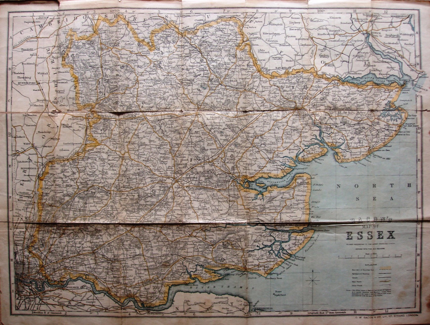
Scale correct at 10 miles = 94mm, or 2.7 miles/inch, ie 1:170,000.
The reference table now only has 5 symbols - Parliamentary Divisions and Boroughs, and Railways Constructing and Mineral, have been deleted. The warning about dangerous hills have also been removed - from the Explanation and on the map.
The railway lines include the Tollesbury Pier line (opened in 1907), but not the Thaxted branch (opened 1913). One of the adverts in the booklet is dated 1910.