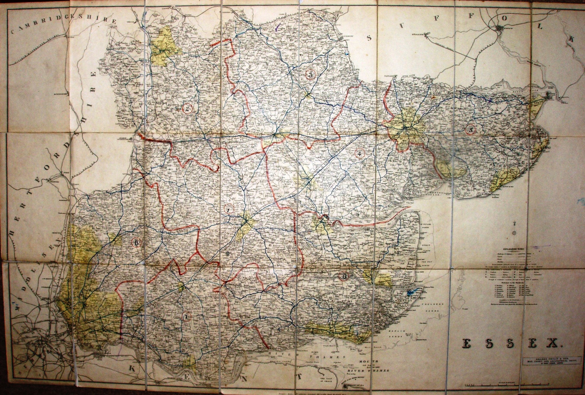
A Map of Essex
This is a Kelly's map (used for Post Office and Kelly's Directories) that Essex County Council has used to show main roads (in blue) and eight road maintenence (?) areas (in red). The map has been dissected on cloth, and is folded between red board covers.
Scale correct at 10 miles = 144mm, or 1.8 miles/inch, ie 1:115,000.
The railways have moved on from the 1888 Kelly, now having the Upminster to Romford link (opened 1893) and the Forest Gate to Tottenham link (opened 1894), but not Corringham light (1901) or Chigwell loop line (1903). The date is thus assumed to be somewhere between 1894 and 1901, eg 1897.