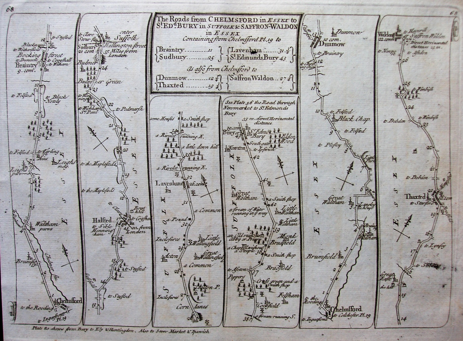
An Actual Survey of all the Principal Roads of England and Wales
Mainly the same maps as the original Senex 1719, ie a straight copy of Ogilby's 100 plates, but now published by John Bowles with the maps printed double sided and some of the page numbers have been changed; page numbers are now printed top left and top right - the above is now plate 68 (with plate 69 on its reverse).
In some cases there are notes about where other roads from the towns on the current map are also to be found on other maps.
Scale of about 7 miles = 80mm, ie about 2.22 miles to an inch (instead of Ogilby's 1 mile to an inch), or 1:140,000.