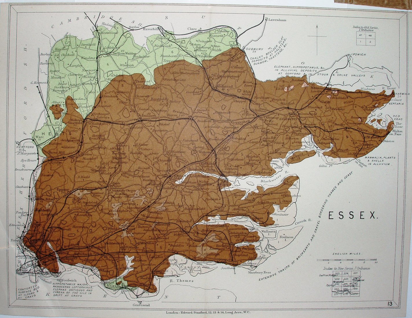
Stanford's Geological Atlas of Great Britain
Stanford's published their new Atlas in 1904, based on Reynold's Geological Atlas of 1860 (2nd edition 1889). There is now more geological text on the face of the map, but the colouring is (as in 1860) not explained - it is on a central key sheet in the Atlas. The boundary of the colouring has moved since the 1860 version.
Displayed scale of 10 miles = 37mm, or 6.9 miles/inch; actual scale = 6.6 miles/inch, or 1:420,000.
The underlying map is as for the Reynold's, but railways have been updated to around 1894+ - in that the Forest Gate to Tottenham link is shown (opened 1894) but not the Corringham light railway (opened 1901) or the Chigwell-Fairlop loop line (opened 1903).
The symbols for Railways are no longer explained, but there are Index maps that show the OS Old Series and New Series sheets that cover the county.