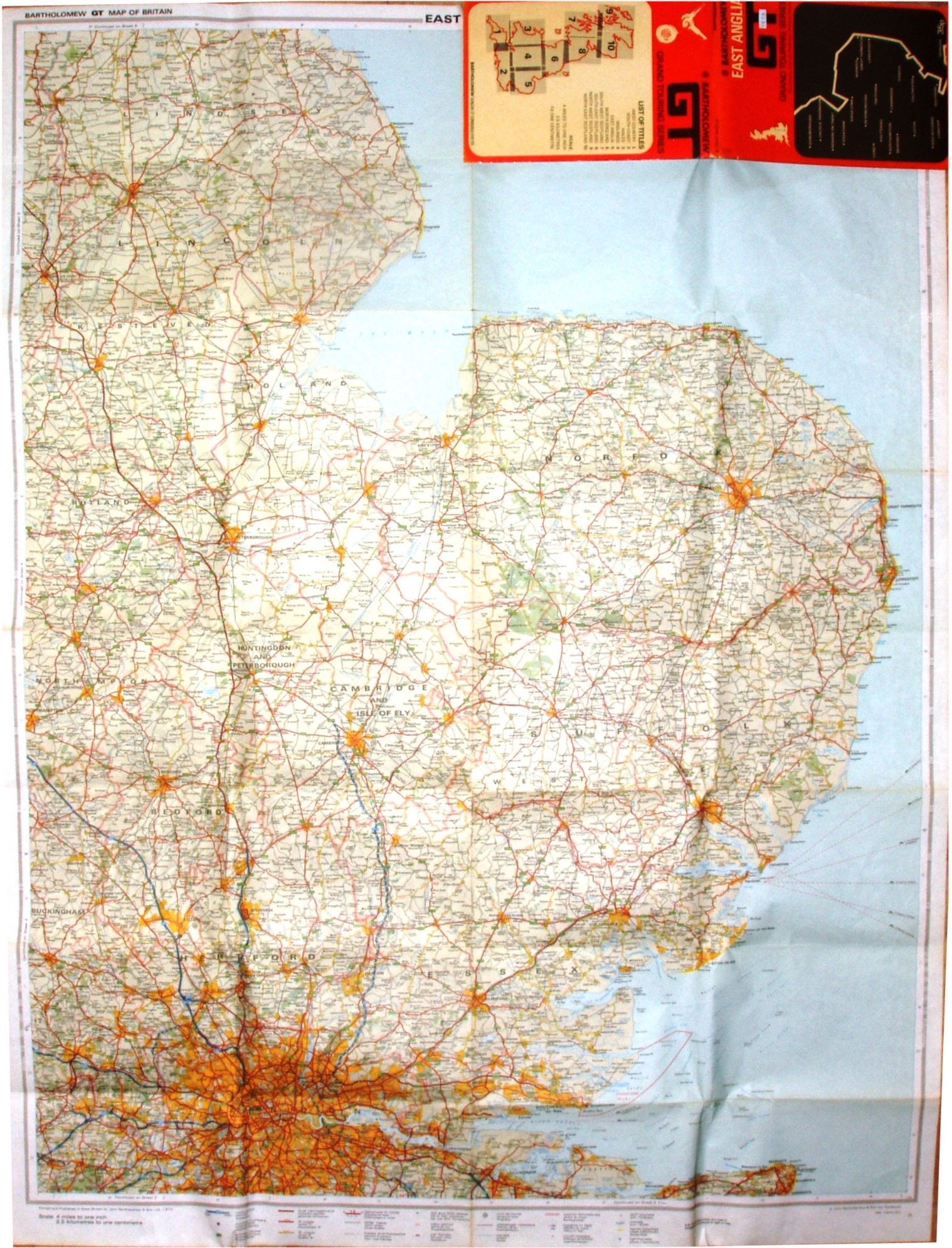
Bartholomew GT Map of Great Britain - East Anglia - Sheet 5.
Very large folding map in card folder, covering not only East Anglia but also Lincolnshire, the East Midlands and London (north to Grizborough, west to Aylesbury and south to Rochester).
More details on Bartholomew's maps are on the Publisher's page.
Scale 1:253,340.
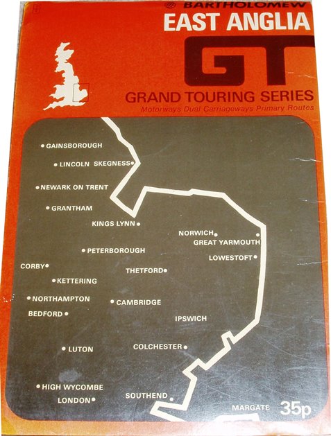
The back cover has a GB map acting as index to the sheets. Price 35p (seems cheap?).