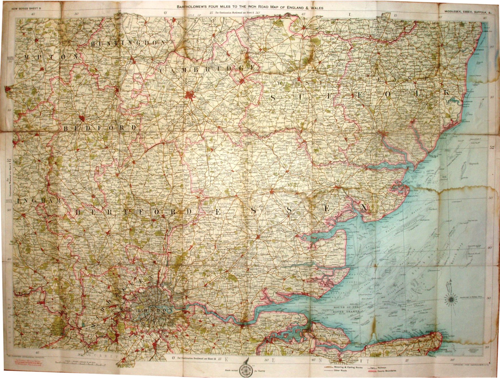
New Series Sheet 9 - Bartholomew's Four Miles to the Inch Road Map of England & Wales - Middlesex, Essex, Suffolk, &c.
Folding map in booklet, covering Essex, Suffolk, Middlesex, Hertfordshire and Cambridgeshire. Code B13, ie printed second half of 1913.
Roads revised for Touring Cyclists. Copyright - John Bartholomew & Co. The railway lines include the Thaxted branch (opened 1913).
More details on Bartholomew's maps are on the Publisher's page.
Scale correct at 12 miles = 75.5mm, or 4.0 miles/inch, ie 1:255,000.
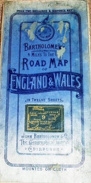
The blue cover is a paper sheet that has been stuck to the cloth map. The reverse of cover has advert for Bartholomew's 4 Miles to the Inch Road Map of England & Wales, and from their prices it suggests this could have been published as late as 1918. Price One Shilling Net.