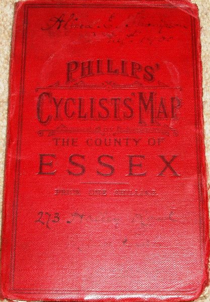
Cyclists Map of the County of Essex
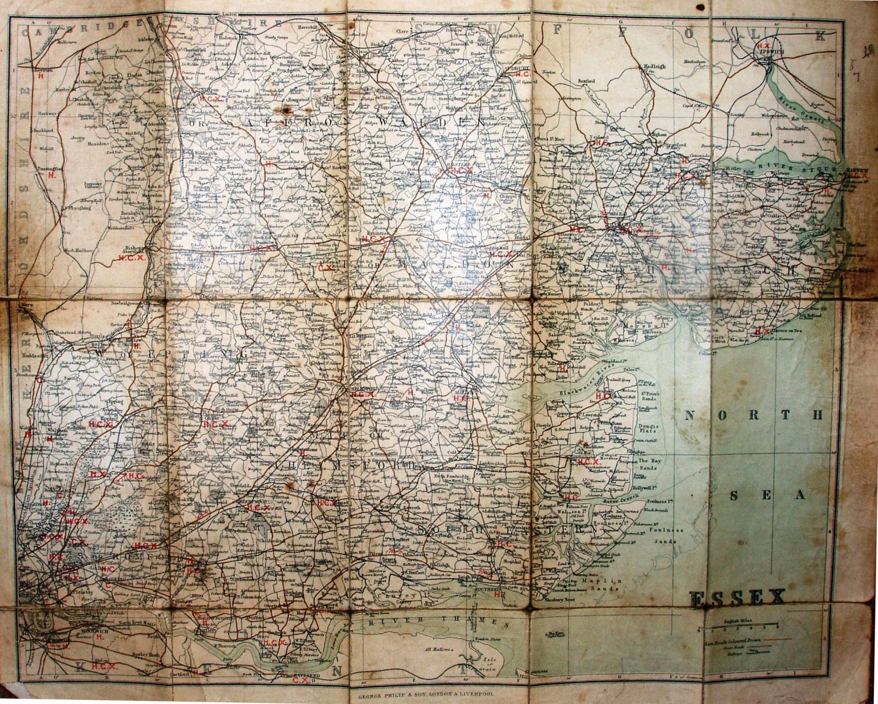
The several Parliamentary Divisions are not coloured, but their names are over-printed on the map. We do get items of relevance to cyclists - main roads are coloured brown, and letters for a Consul of Cyclists Club in a town, a Hotel recommended by Cyclists (listed inside the cover - including a code for Temperence Hotel and Coffee Tavern) and X for where machines can be repaired; the arrows warning about hills, however, are absent.
Addresses: 32 Fleet Street London, and 49 to 51 South Castle Street Liverpool. There is no mention of the "London Geographical Institute" - so pre-1901. More details on Philips's maps are on the Publisher's page.
Scale correct at 6 miles = 43mm, or 3.5 miles/inch, ie 1:225,000.
The first cover (in red) has adverts for Philips' Topographical Map of England & Wales and for Philips' County Cycling Maps; the 2nd (white & brown cover) has no adverts.
The railways include Forest gate to Tottenham (opened 1894), but not the Corringham Light line (opened 1901) or the Fairlop loop (opened 1903).