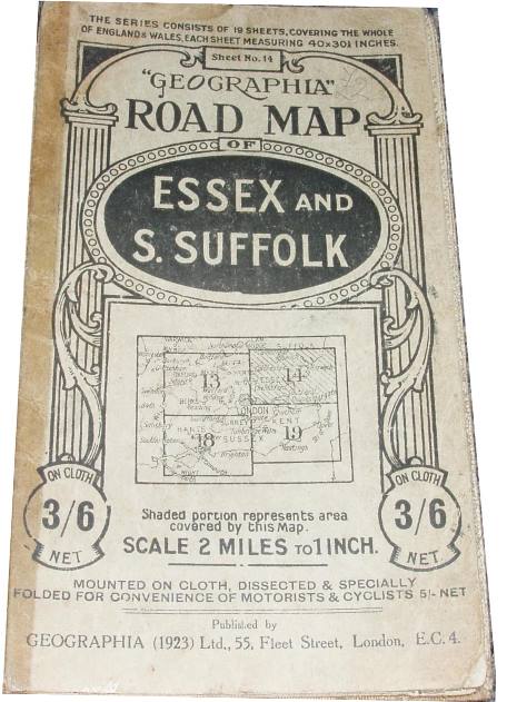
Geographia Two Miles to One Inch Map of England & Wales (in 19 Sheets) - Sheet 14
Off-white cover, showing side supporting columns with swirly overlays (see 1929 et seq maps for difference). On cloth 3/6 Net (dissected 5/- Net). Index map on front showing sheets 13, 14, 18 & 19, with 14 shaded - all printed on cover. Front and back covers stuck to cloth.
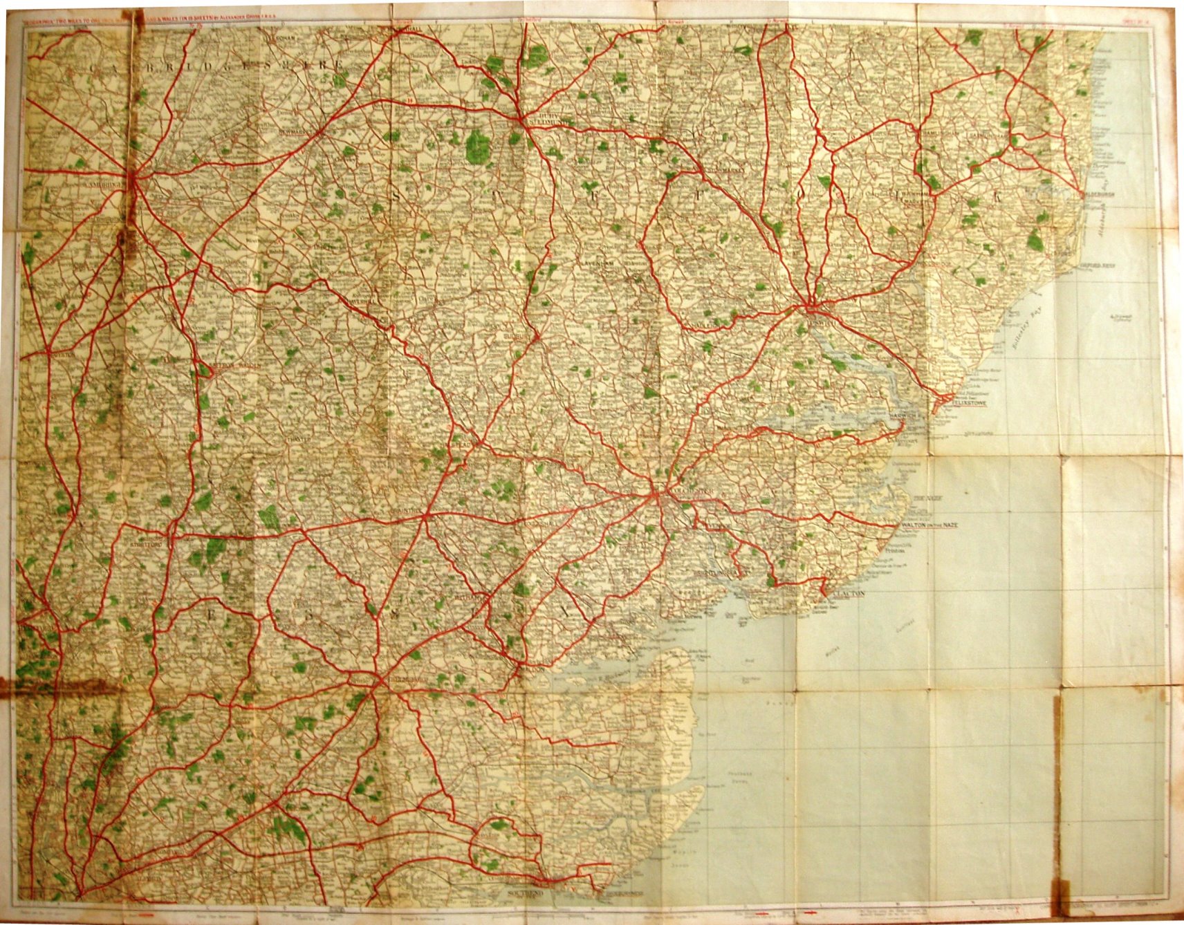
The Southend Arterial (opened 1925) shown, but looks rather "projected" to me; no Stanford-le-Hope bypass (1929+).
Displayed scale of 3 miles = 38mm, or 2.0 inch/mile, ie 1:126,720.
First class roads in red; second class roads in thin red; no road numbers. Has symbols for Steep ascents/descents, and for Golf Links.
Company name is Geographia (1923) Ltd, and address is 55 Fleet Street.
More details on Geographia's maps are on the Publisher's page.