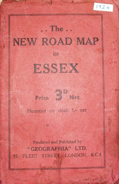
The New Road Map of Essex
A very plain pink cover with no picture (unlike in 1921/22), Price 3D Net (on Cloth 1/- Net). Inside the front cover is an advert for Geographia's Road Maps - 4 for England + 1 for Scotland + 1 for Ireland, all at 6d each mounted on cloth (!); the back cover is blank.
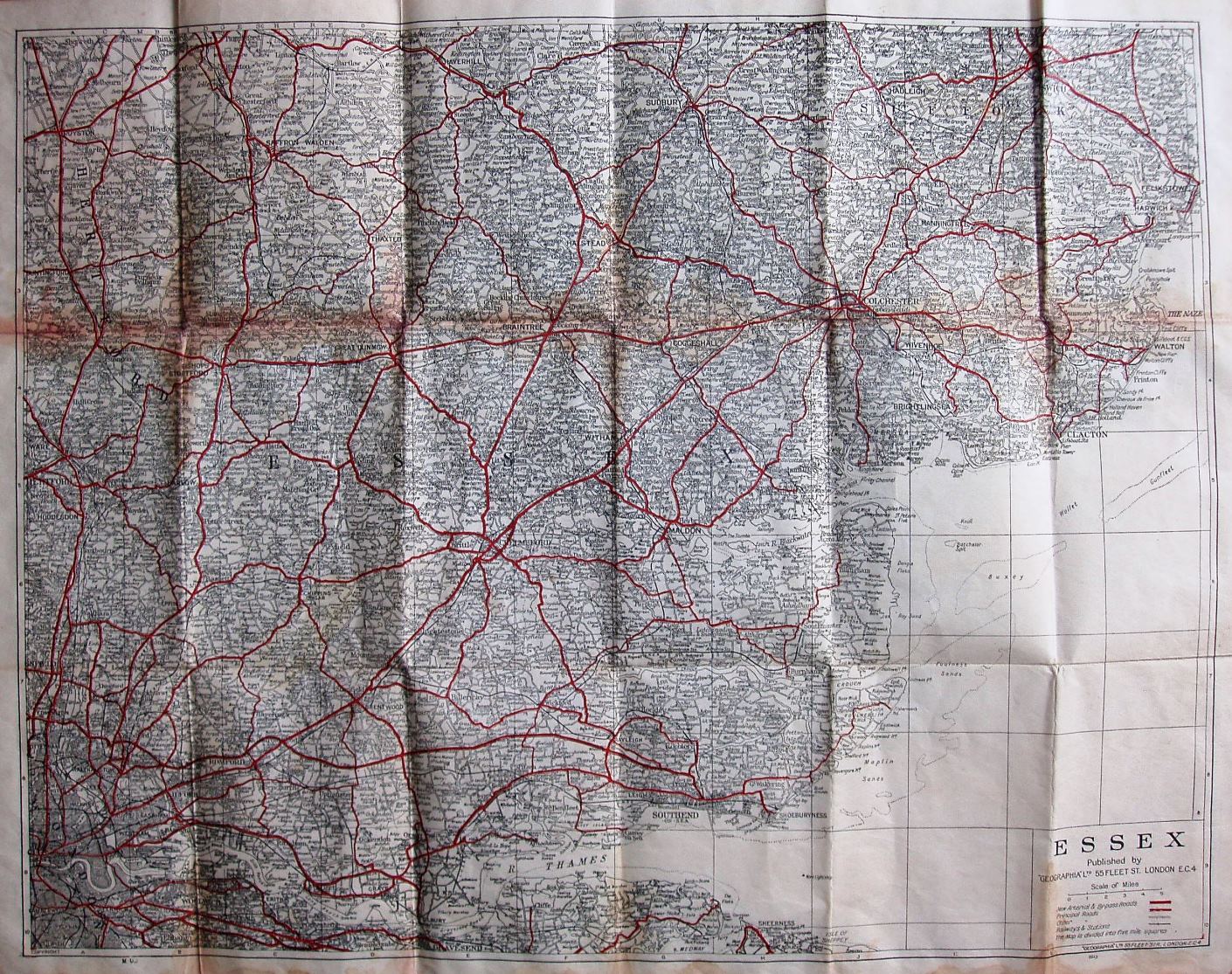
"Arterial and principal" roads are in red (still unnumbered); the map includes the Southend Arterial as a properly connected road (opened 1925), plus also the Rainham bypass (1924) and even the Stanford-le-Hope bypass (c.1932); the Thaxted branch line is also present (opened 1913).
Displayed scale of 5 miles = 45mm, or 2.8 miles,inch; actual scale 2.9 miles/inch, ie 1:185,000.
The map is published by Geographia Ltd, 55 Fleet Street (on both the map and the cover), and has the code M.UB = March 1924 (so the Stanford-le-Hope bypass is a bit early!).
More details on Geographia's maps are on the Publisher's page.