Bacon's Large Scale Atlas of London & Suburbs
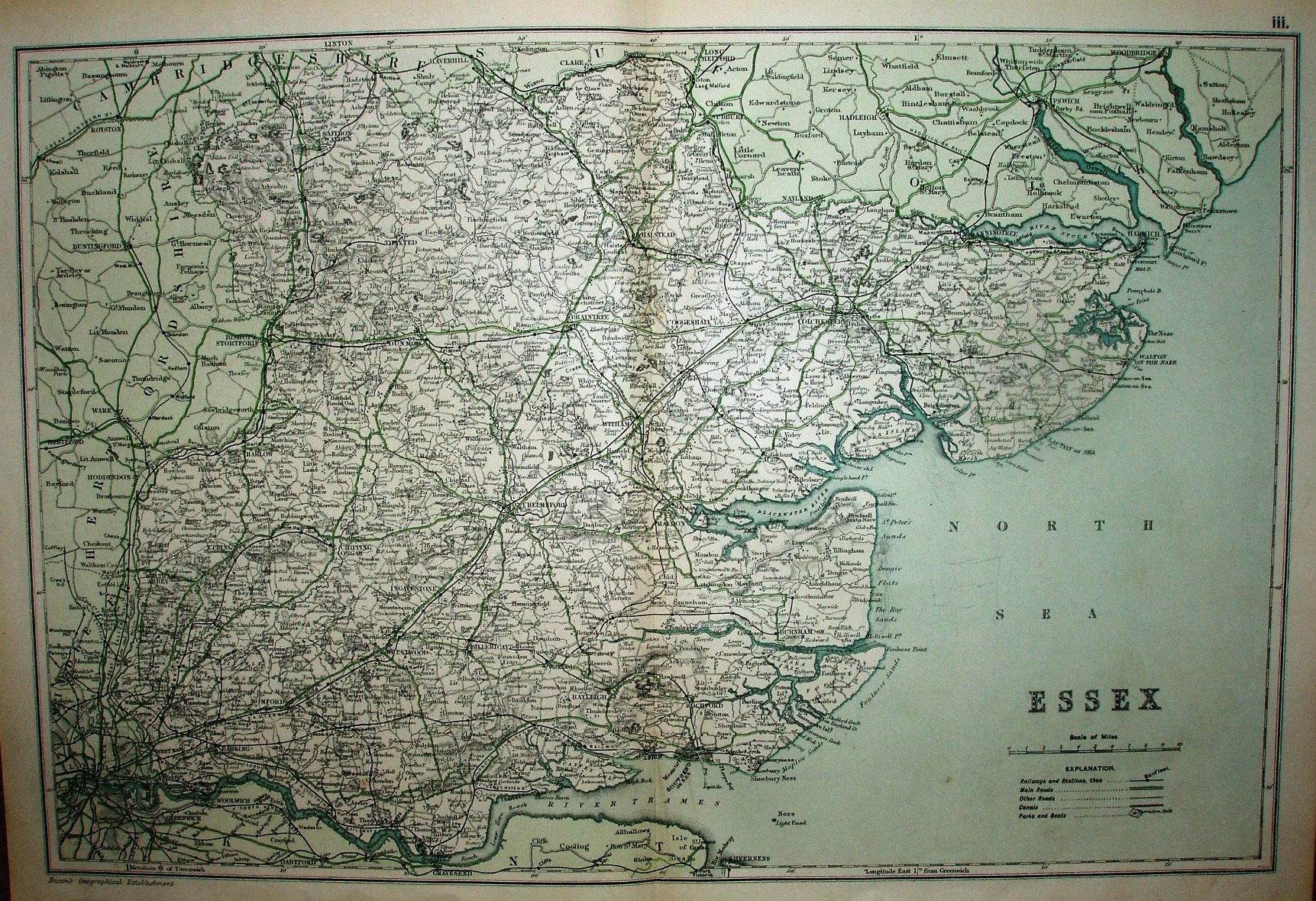
Compared to the 1907 copy, this is now map "iii" of an Atlas. The multi-colouring of before is replaced by this green colour wash outside Essex and no colouring within Essex (apart from the very odd looking green roads), with no boundaries shown for the Hundreds. In 1924 there is also a map 3, but "III" rather than "iii", and back with the multi-colours.
More details on Bacon's maps are on the Publisher's page.
Displayed scale of 10 miles = 63mm, or 4.0 miles/inch; actual scale = 3.9 miles/inch, or 1:250,000.
We now have the Elsenham to Thaxted branch (opened 1913). Compared to the 1907 map, the legend has shrunk to almost nothing.