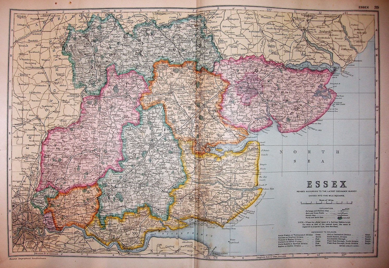
Bacon's Atlas of London & Suburbs
This has a plate number 39 in the toop right corner, which shows it to be the London Atlas rather than any of the others.
More details on Bacon's maps are on the Publisher's page.
Scale displayed at 10 miles = 63mm, or 4.0 miles/inch; actual is 3.9 miles/inch, or 1:250,000.
The railway lines include the light rail to Tollesbury Pier (opened 1907), but not the Thaxted branch (opened 1913).