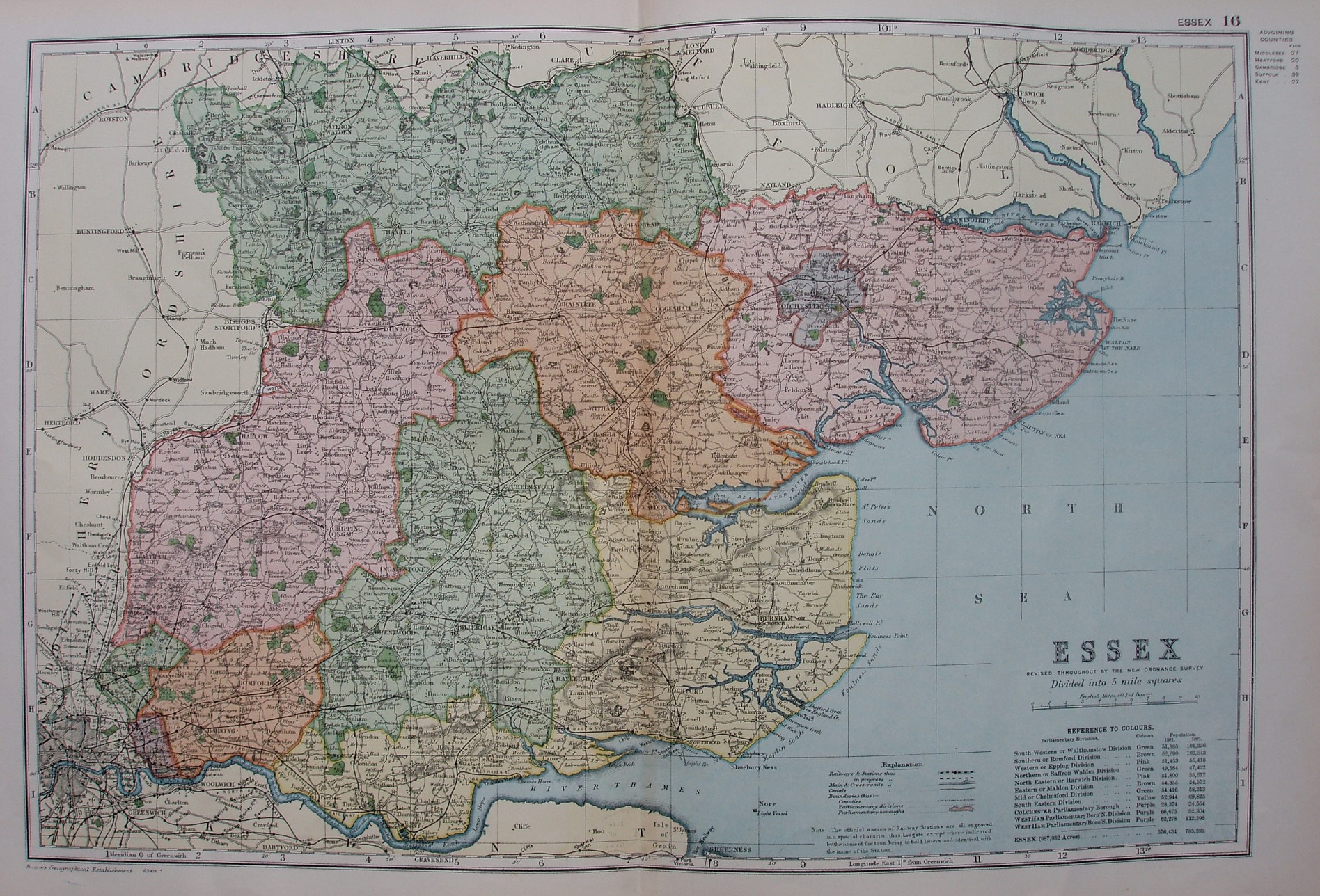
Commercial and Library Atlas
Not very different from the 1895 copy, and still with the 1881 and 1891 populations. The counties are coloured, with a thin line of edge-colouring. The railways are not shown as claimed in the key - they are shown in the way described on the 1907 map's key.
Displayed scale 10 miles = 63mm, or 4.0 miles/inch; actual scale = 3.9 miles/inch, or 1:250,000.
No change on the railways since 1895, eg no Corrigham light (opened 1901, but not shown on any of the Bacon maps) or Fairlop-Chigwell Loop (authorised 1895; opened 1903).