Hobson's Fox Hunting Atlas
The Atlas was first published in 1837 (Essex is dated 1835), and then several times to 1870 (or later), as Hobson's Fox Hunting Atlas (1850 to 1880), as Walker's Fox Hunting Atlas and as Lett's Popular Atlas (1884 & 87). The maps were also published separately, dissected on cloth and folded up between boards.
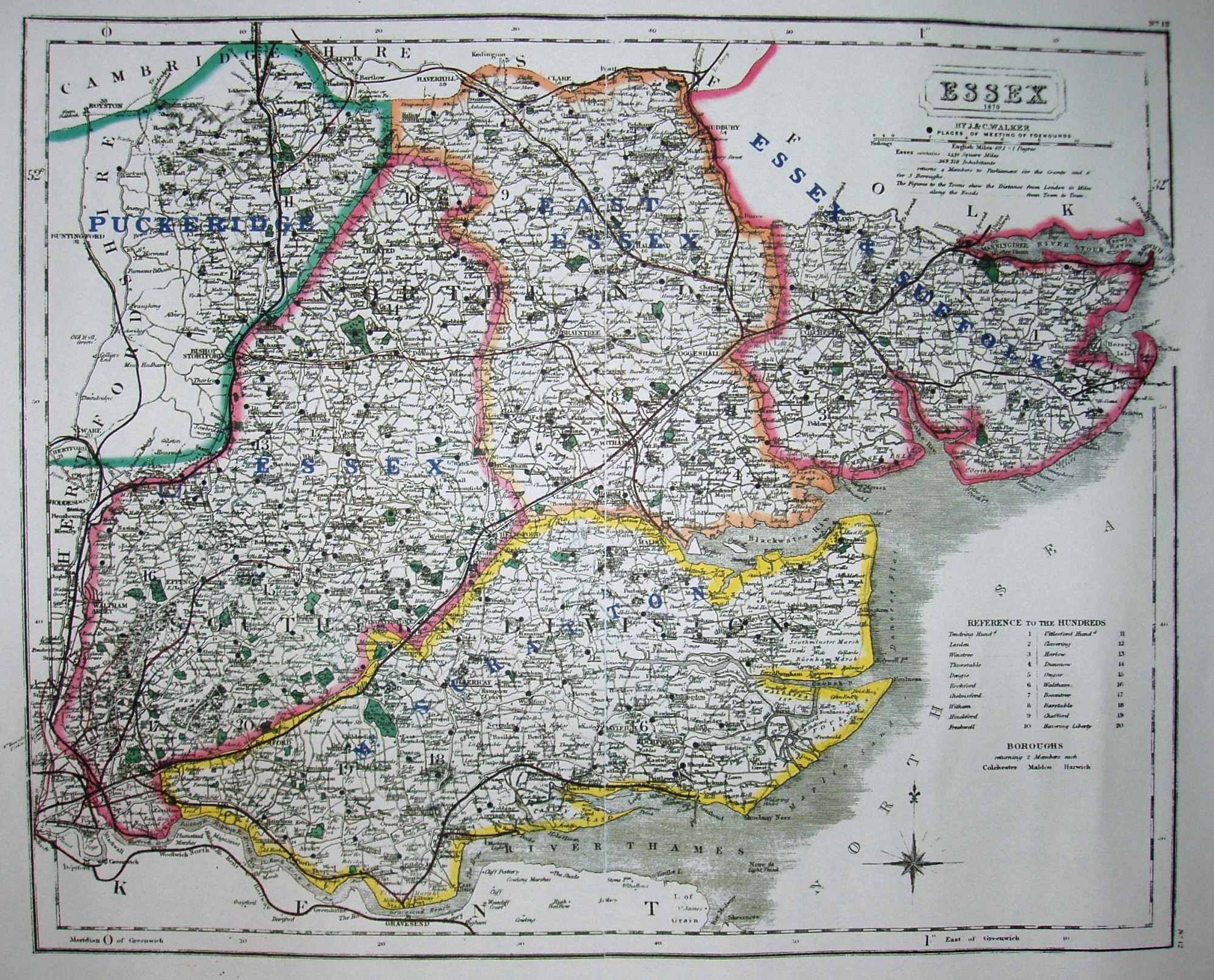
This example is from a mid-period Fox Hunting Atlas dated 1870, although it shows the South Essex and Essex Union Hunts have combined into a single Hunt, called Mr Scratton's. This operated from 1861 to 1868, whereupon it was renamed the Essex Union.
Hundreds are listed in a table, plus the list of parliamentary boroughs, but not the places of election or polling places (just leaves a white space) - unlike on the 1868 and 1871 British Atlas maps. The compass rose is in the North Sea, but with just white space beside it. Hundreds uncoloured, and Colchester, Harwich & Maldon Boroughs all unlined, but the old Parliamentary Division names are still present on the map. Major roads have a thicker line on one side; all roads uncoloured.
The red line from Marks Tey to Sudbury (authorised 1846; opened 1849) goes into and out of Sudbury incorrectly - again unlike on the 1868 and 1871 British Atlas maps. There is a red line from Bishops Stortford through Dunmow to Braintree (1861; 1869), with no underlying black lines - present on the 1868 and 1871 British Atlas maps. There is just a red line up to Walthamstow (1864; 1870) and on to Chingford (1864; 1873) - and on further northwards (never built).
"By J & C Walker", but blank along the bottom. This "1870" map thus shows a Hunt with a pre-1870 name, but from the red lines I estimate it was sold in c.1873.
Scale correct at 1+12 miles = 83mm, or 4.0 miles/inch, ie 1:255,000.
Many J&C Walker maps are shown on the Walker's Map Publisher page.