Reynolds' Geological Atlas of Great Britain
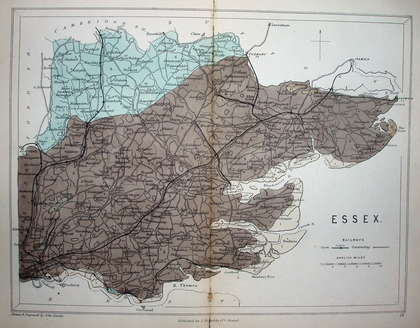
"Drawn & Engraved by John Emslie." "Published by J Reynolds 174 Strand." A two colour map of the geology of Essex (without an explanation), based on the 1848 Atlas. The key claims the map will show railways "Open" and "Constructing", but there are none of the latter marked on the map.
Displayed scale of 10 miles = 36.6mm, or 6.9 miles/inch; actual scale = 6.7 miles/inch, or 1:425,000.
The railway lines are shown from Barking to Fenchurch Street (opened 1858) and Chappel to Halstead (opened 1860), but not Halstead to Castle Hedingham (opened 1861).
The Atlas had a second edition in 1889, and was then the basis for Stanford's Geological Atlas in 1904 - still being plate 13 in its Atlas, but with more railways and a changed border for the geology.