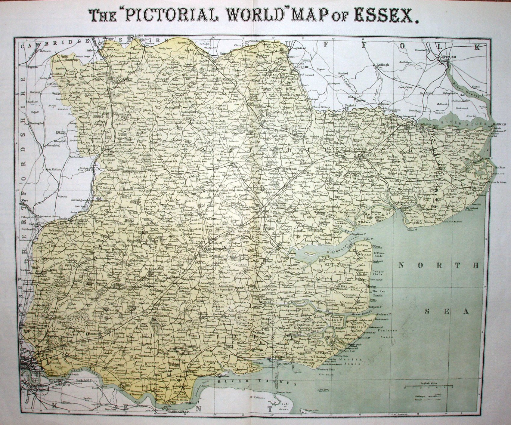
Supplement to The Pictorial World, 26 May 1877, using a Philips map.
Scale correct at 6 miles = 43.1mm, or 3.5 miles/inch, ie 1:220,000.
A plain colour wash across the county does nothing to enliven this very densely printed and dull map - every word, line and symbol is at the same intensity, making it very un-appealing to the eye. It's dull.