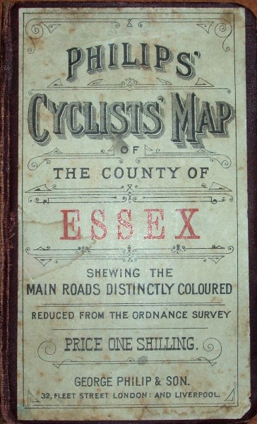
Cyclists' Map of the County of Essex
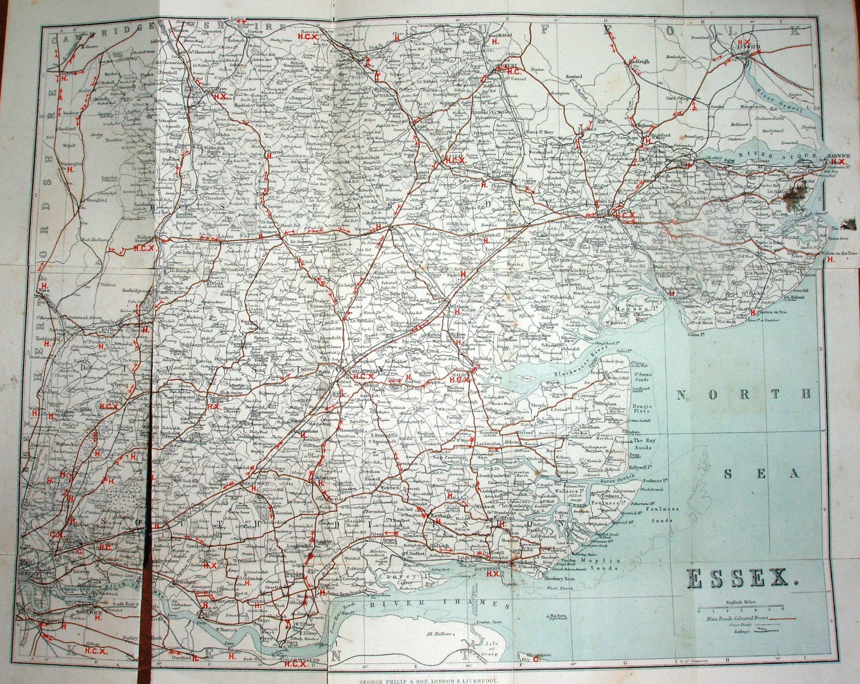
The three Parliamentary Divisions are no longer coloured, and instead we get items of relevance to cyclists - main roads are coloured brown, and arrows added to indicate hills that are to be ridden with caution or with breaks on, or just dismount. Also added are letters for a Consul of Cyclists Club in a town, a Hotel recommended by Cyclists (listed inside the cover) and X for where machines can be repaired.
Scale correct at 6 miles = 43mm, or 3.5 miles/inch, ie 1:225,000.
Advert for Philip' Cyclists Maps of the Counties of England inside the cover. More details on Philips's maps are on the Publisher's page.
Addresses: 32 Fleet Street London, and Caxton Buildings South John Street and 49 & 51 South Castle Street Liverpool.
The railways include the Southend to Shoeburyness (opened 1884) but not Barking to Upminster (opened 1885).