A New Travelling Atlas
Another Atlas using the Teesdale maps first published in his Atlas of the same name in 1830. Many further issues will be made by Heywood, eg in 1868.
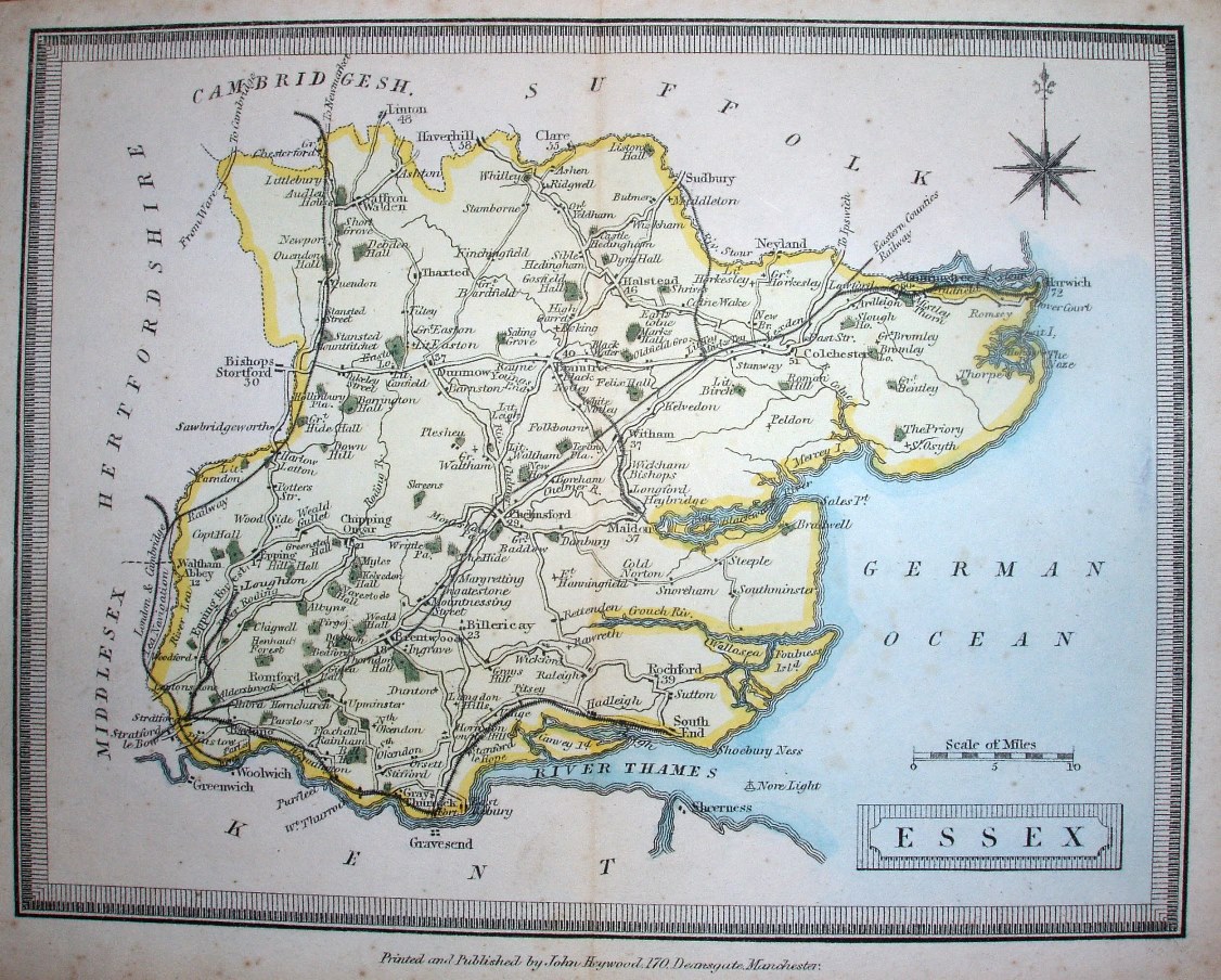
Scale correct at 10 miles = 25.8mm, or 10.0 miles/inch, ie 1:635,000.
The railways shown include the Witham to Braintree and Maldon lines (opened 1848), the Marks Tey to Sudbury (opened 1849), Manningtree to Harwich (opened 1854) and Barking via Tilbury to Southend (opened 1856), but not shown are Mucking to Thameshaven (opened 1855) or Chapel to Halsted (opened 1860).