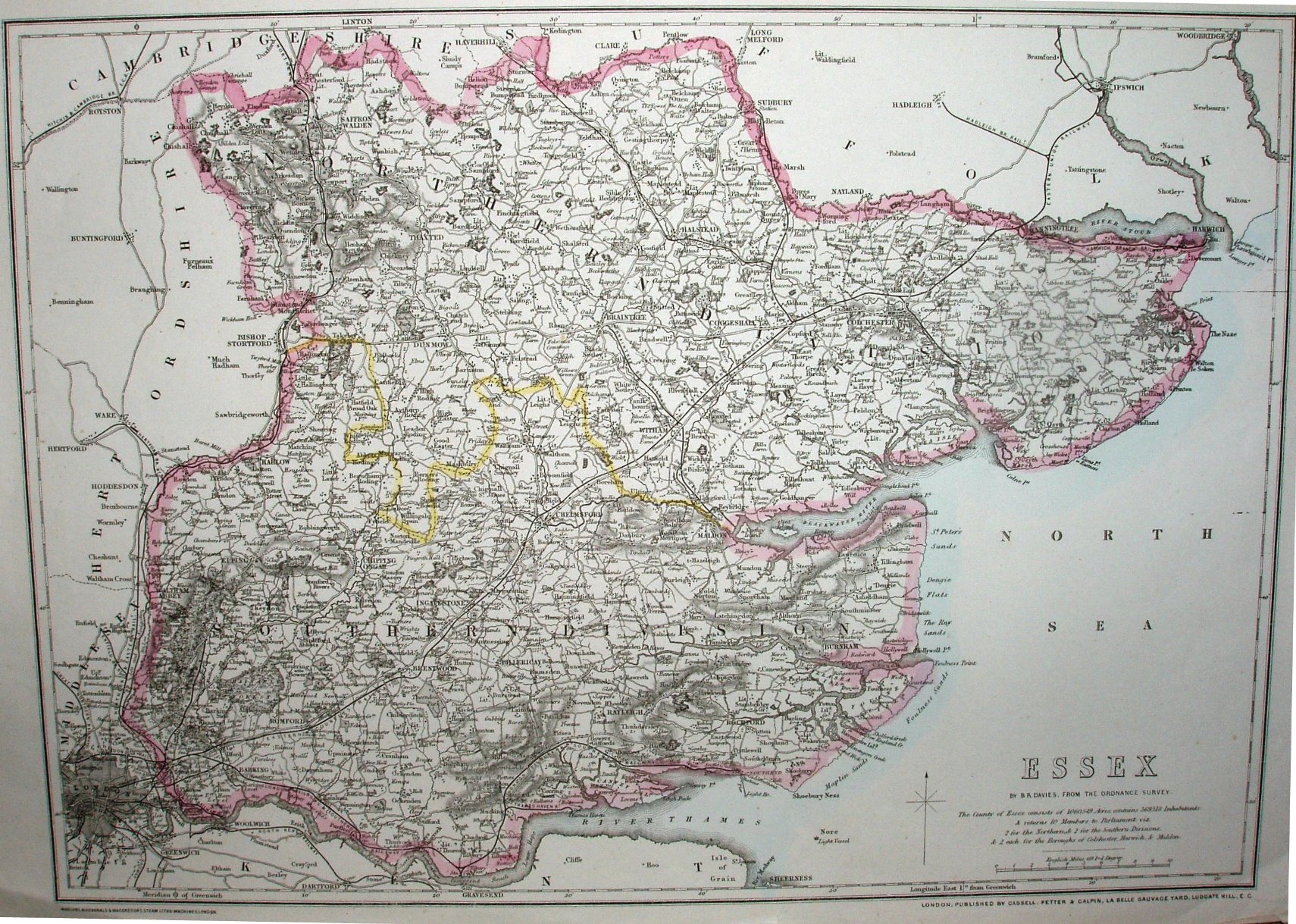
Cassell's County Maps for Road and Rail (above)
Cassell's County Maps for Road and Rail (above)
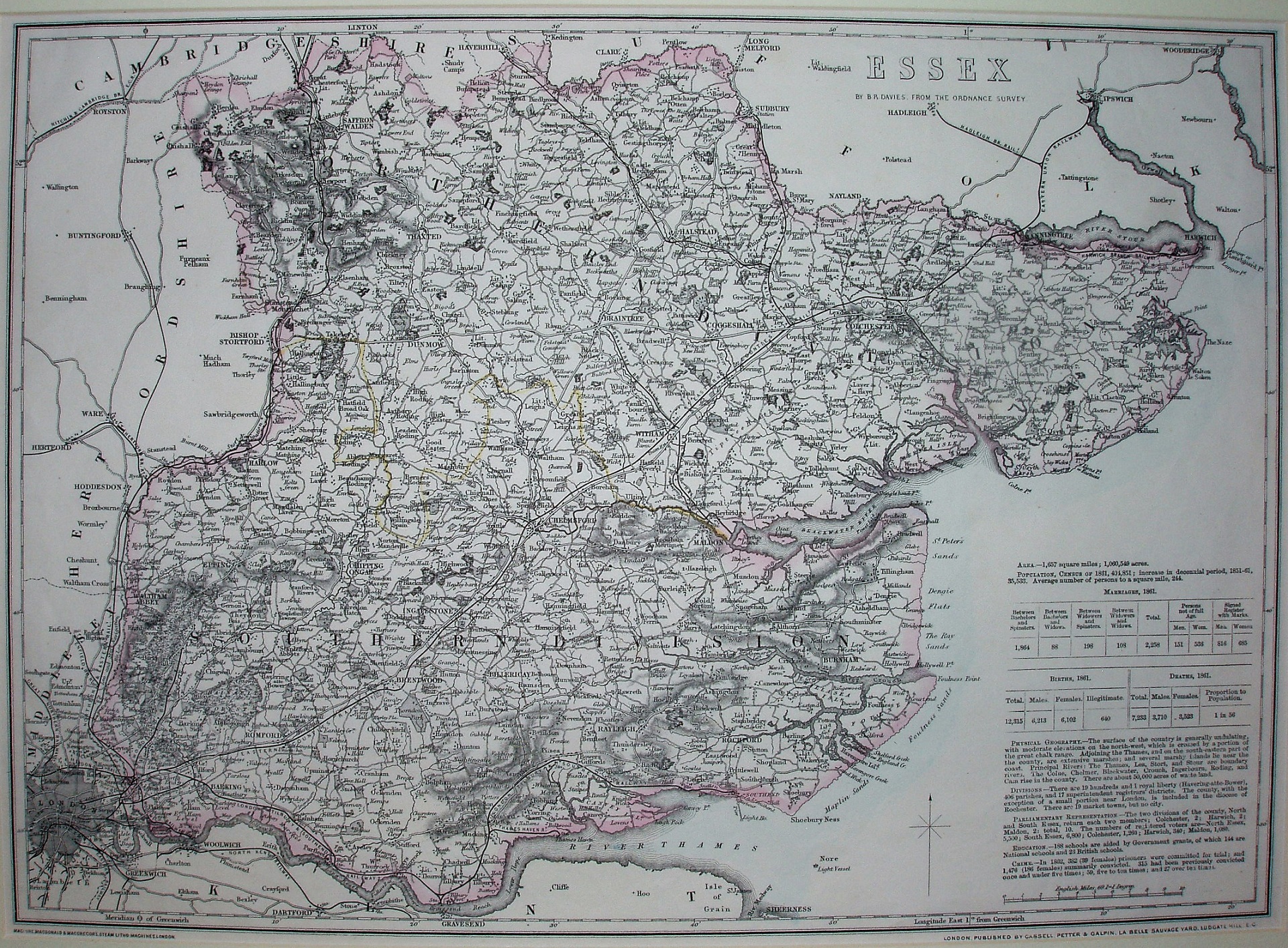
Cassell's British Atlas
The Weekly Despatch maps live on, now as Cassell's County Maps for Road and Rail (ie as an individual sheet map) in 1863 and as Cassell's British Atlas in 1864. (There was also a Cassell's Complete Atlas in 1862.) The references to "Weekly Despatch" and "Engraved by BR Davies" have both gone, replaced by "Maclure, MacDonald and Macgregor's Steam Litho:Machines.London." and "Published by Cassell, Petter & Galpin, La Belle Sauvage Yard, Ludgate Hill, EC." The maps get re-used by Bacon.
Displayed scale of 10 miles = 62.5mm, or 4.1 miles/inch; actual scale = 3.9 miles/inch, or 1:250,000.
The 1861 statistics concern Population, Marriages, Deaths, Geography, Parliamentary Representation and Divisions, Education and Crime. The Railways shown are the same on each map, with lines from Yeldham to Haverhill and from Hythe to Wivenhoe (both opened 1863), but none of the 1865 openings.
The Complete Atlas and the British Atlas also had smaller scale maps covering the whole of England and Wales in 4 sheets, of which the South East sheet is available here.