Cruchley's County Atlas of England and Wales
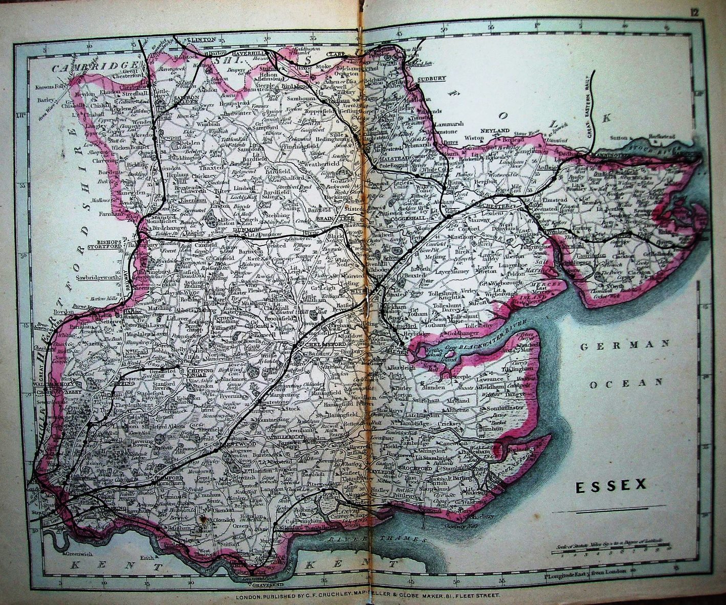
Since the 1863 version, the "Railway and Stations map of.." has been deleted and the scale bar has moved. Perhaps he was concerned this small map would be confused with the much larger "Railway and Telegraphic County Atlas" maps.
More details on Cruchley's maps are on the Publisher's page.
Displayed scale of 10 miles = 46mm, or 5.5 miles/inch; actual scale = 5.7 miles/inch, or 1:360,000.
On the railways the Walthamstow to Chingford extension is present (opened 1873), and the previously proposed line from Ongar to Dunmow is no longer shown in black - but the faint parallel lines are still there.