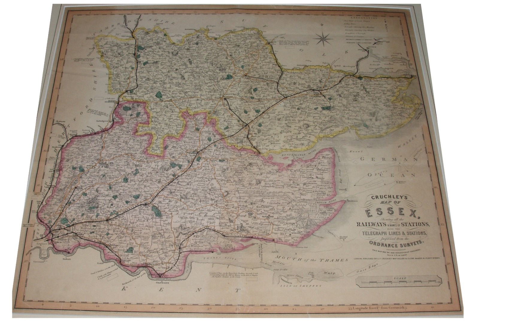
Cruchley's Railway & Telegraphic County Atlas
Cruchley had bought the old copper plates of Cary, and in this case the underlying map is from Cary's New English Atlas of 1809, with basically just railways added. His Railway & Telegraphic County Atlas was published from 1857 with many reissues to 1888 (or later), and also as single sheet maps - Cruchley's County Map of ... with or without for Cyclists, Tourists, &c.
Scale correct at 10 miles = 94mm, or 2.75 miles/inch, ie 1:175,000.
More details on Cruchley's maps are on the Publisher's page.
From the railways to Loughton (opened 1856) and to Halstead (opened 1860; extended to Castle Hedingham in 1861), this map is dated about 1860 or a little ealier - possibly from the 1858 issue of his Atlas.