Collins' Atlas of England & Wales
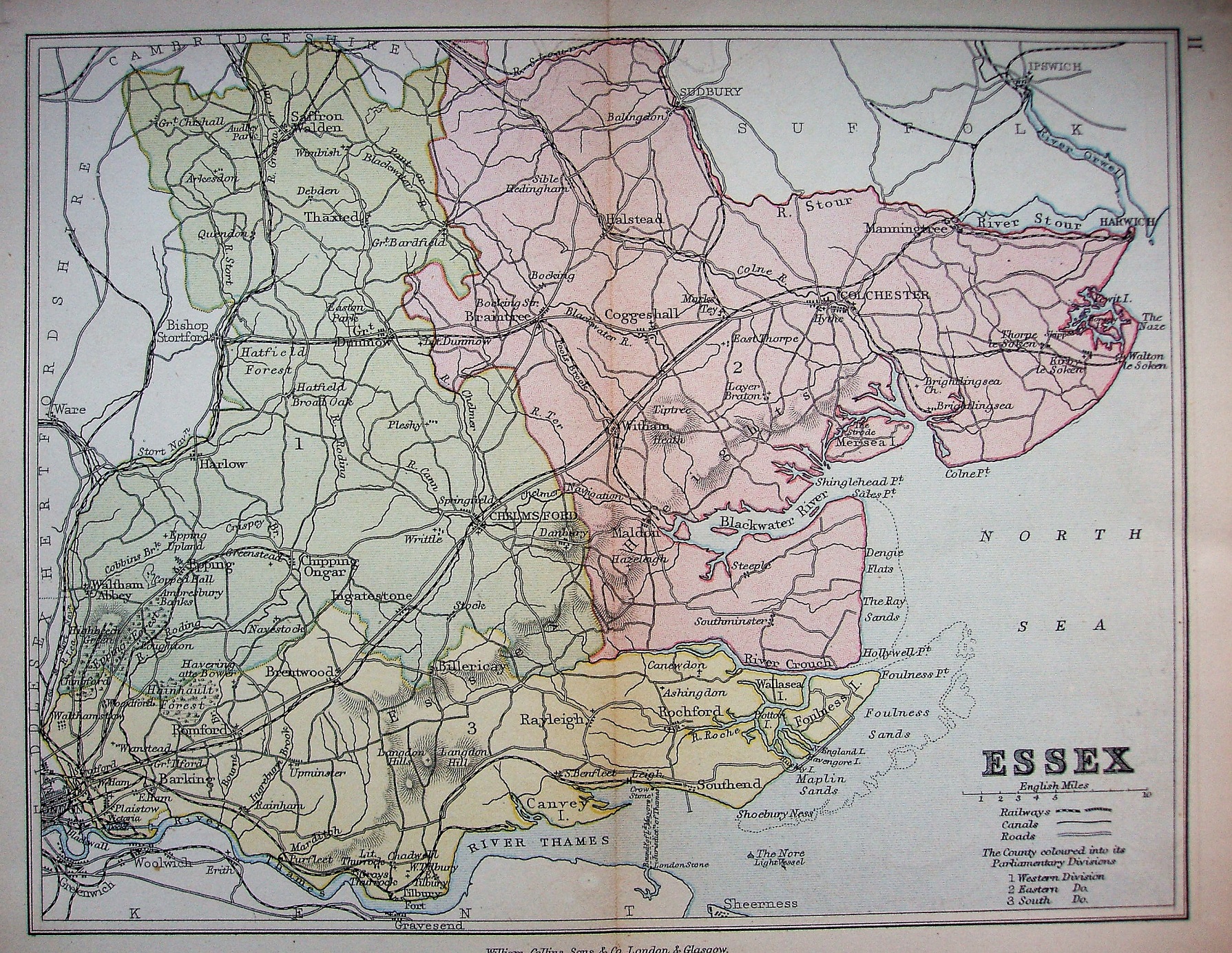
Three Parliamentary Divisions coloured, railways and towns, but only major roads and larger villages.
Scale of 10 miles = 33mm, or 7.7 miles/inch; actual scale is 7.6 miles/inch, ie 1:480,000.
It's the same map as the 1874 one, used in his educational County Geographies. The one exception is that whilst the railways include Walthamstow to Chingford (opened 1873), unlike in 1874 there is no Thorpe-le-Soken to Clacton planned line (authorised 1877, opened 1882). There are two symbols listed for Railways, but the difference is not explained. There is also an "11" on the reverse.