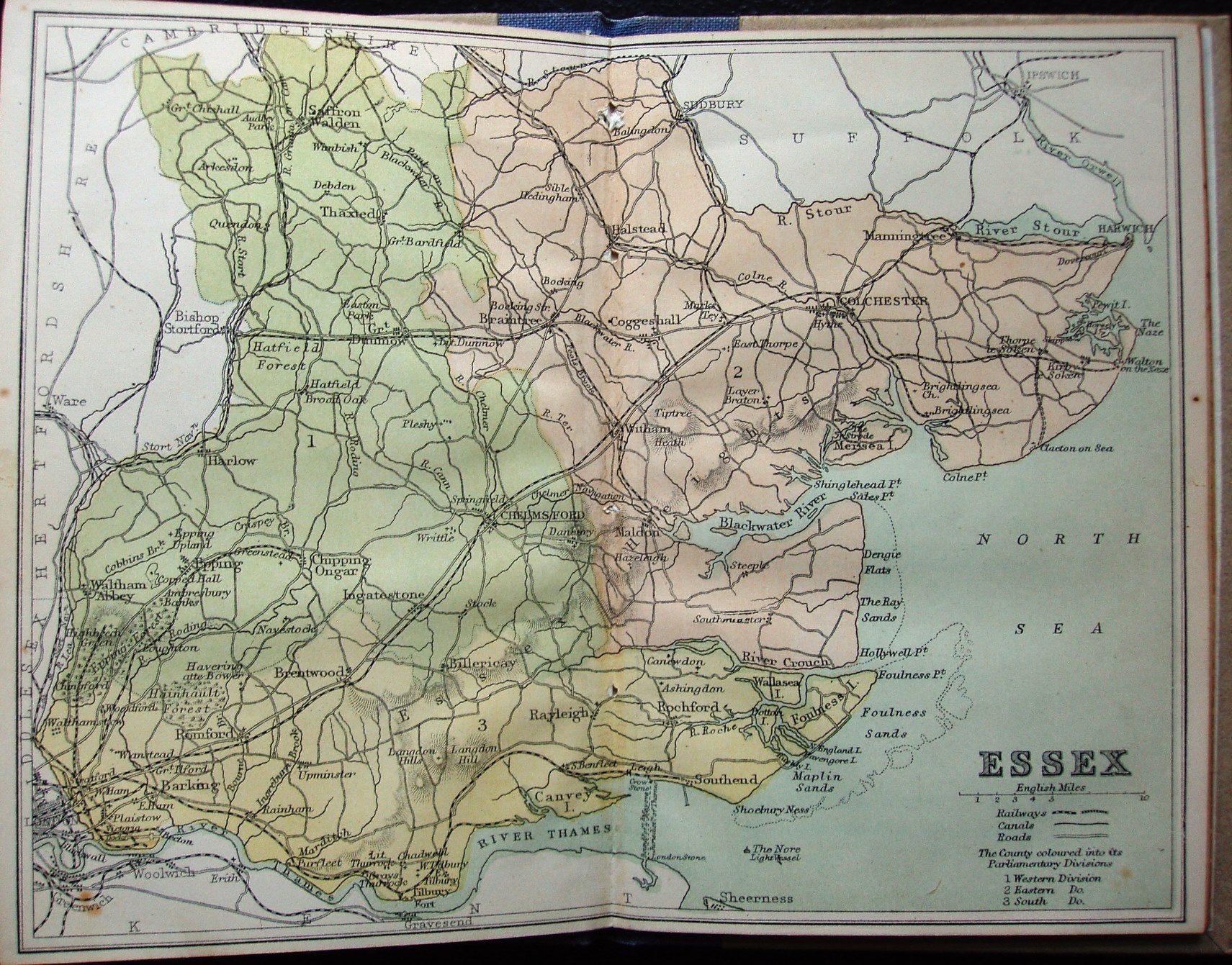
Wm Collins' County Geographies - Essex
Three Parliamentary Divisions coloured, railways and towns, but only major roads and larger villages.
The map looks very, very similar to the Philips one of the year before, albeit about 10% larger scale. The County Geographies were published 1872-75, with 22 pages of text to accompany the map - and then later as an Atlas.
Scale of 10 miles = 33mm, or 7.7 miles/inch; actual scale is 7.6 miles/inch, ie 1:480,000.
The railways include Walthamstow to Chingford (opened 1873), and also have Thorpe-le-Soken to Clacton as an (inaccurate) planned line (authorised 1877, opened 1882). There are two symbols listed for Railways, but the difference is not explained.