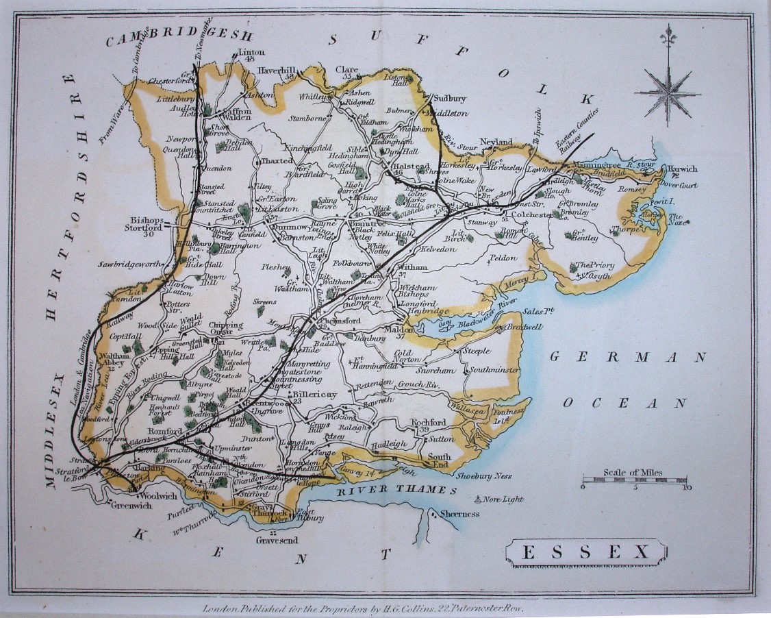
The Travelling Atlas of England and Wales
The Atlas was published in 1850, 52 and 68. It has towns and large villages, with major roads and railways very prominent.
Scale correct at 10 miles = 25mm, or 10.2 miles/inch, ie 1:650,000.
The railways shown are very inaccurate, in that it has Marks Tey to Sudbury (opened 1849) and Chappel to Halsted (opened 1860), but not Witham to Braintree or Maldon (opened 1848); it also has the mythical Romford to Thameshaven line. The dating is thus no more than a guess.