Cassell's Gazetteer of Great Britain & Ireland
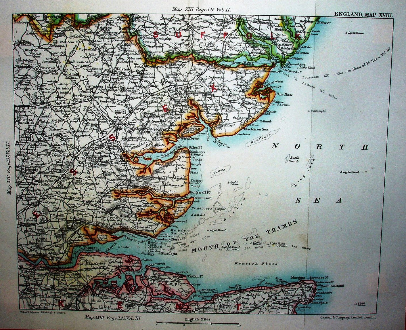
This is sheet "England, Map XVIII". Around the edges are the references to the maps to the north, west and south, plus "W & AK Johnston Edinburgh & London" and "Cassell & Company, Limited, London".
Displayed scale of 15 miles = 54.8mm, or 7.0 miles/inch, ie 1:440,000.
The map is that as used in Johnston's Modern County Atlas, published 1889 - including the distances to Hamburg, Texel, Granton and Leith, Rotterdam, and Aberdeen - and with the addition of distances from Harwich. Rather heavy-handed colour has been added to show the edges of counties, and the plate divided down different lines.