Commercial & Library Atlas of the British Isles from the Ordnance Survey
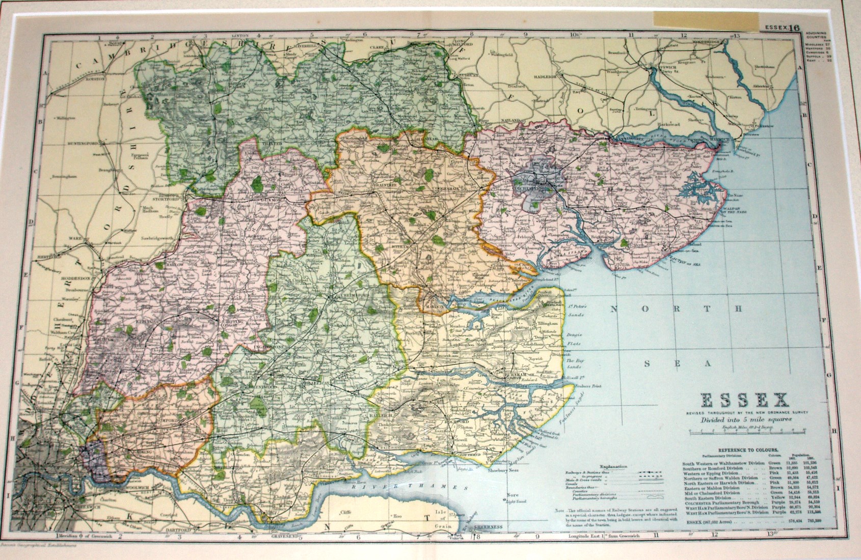
The same underlying map as the Bartholomew (eg of 1883), but with modern Parliamentary Divisions shown coloured and edge-coloured, and a set of 1891 population statistics per Division in the bottom right. It doesn't change much by the 1904 edition either.
More details on Bacon's maps are on the Publisher's page.
Scale correct at 10 miles = 62.7mm, or 4.0 miles/inch, ie 1:255,000.
The railways include the Forest Gate to Tottenham link (opened 1895), and there is an explanation given regarding the meaning for different fonts used for station names.