The Traveller's Pocket Atlas
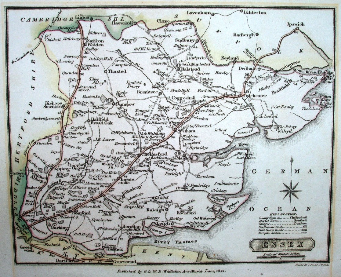
The maps are in Pinnock's County Histories in 1820, and then in this atlas issued 1820 to 1824.
Displayed scale of 10 miles = 24.5mm, or 10.4 miles/inch; actual scale = 9.6 miles/inch, or 1:605,000.
"Published by G & WB Whitaker, Ave Maria Lane, 1822. Neele & Son, 30 Strand."