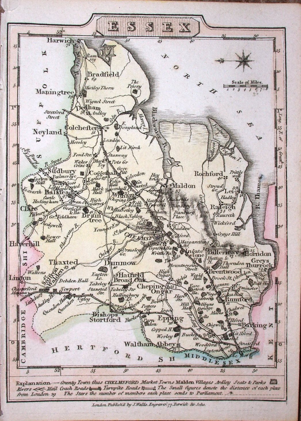
New Pocket Edition of the English Counties
East to top. Very similar to Cary's Traveller's Companion maps. Very similar.
Displayed scale of 8 miles = 15mm, or 13.6 miles/inch; actual scale = 13.2 miles/inch, ie 1:840,000.
The map was reissued in Lewis's New Traveller's Guide in 1819, with improved topography and the imprint removed.