Robin's Atlas of England & Wales
"Published J&J Cundee; Neele Sculpt Strand."
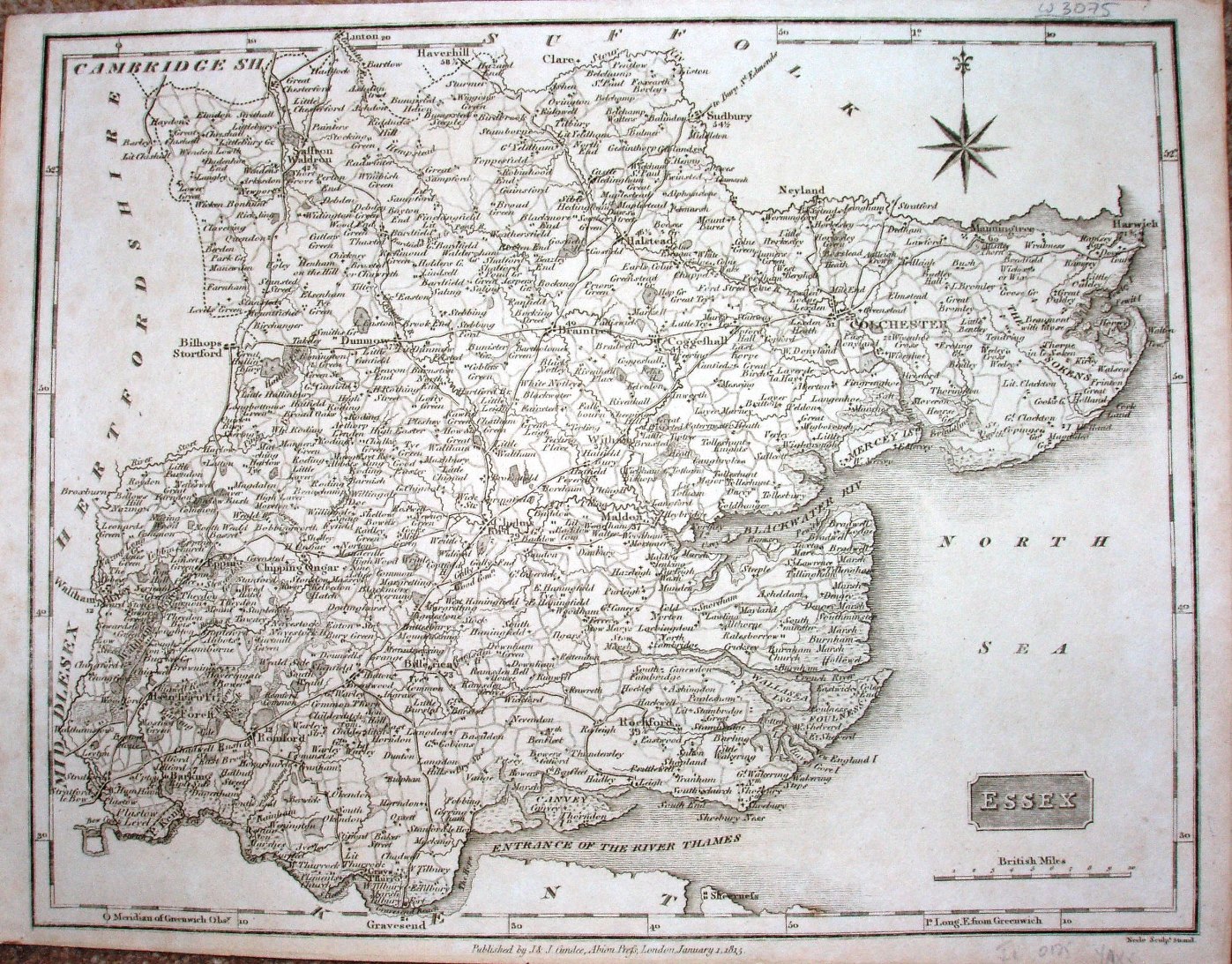
Displayed scale of 10 miles = 42mm, or 6.0 miles/inch; actual scale = 6.2 miles/inch, or 1:400,000.
First published in 1812 in New British Traveller, or, Modern Panorama of England and Wales as single sheets, then as an atlas in 1818 & 1819, before being in this atlas.
Same map as used in Dugdale 1819 next.