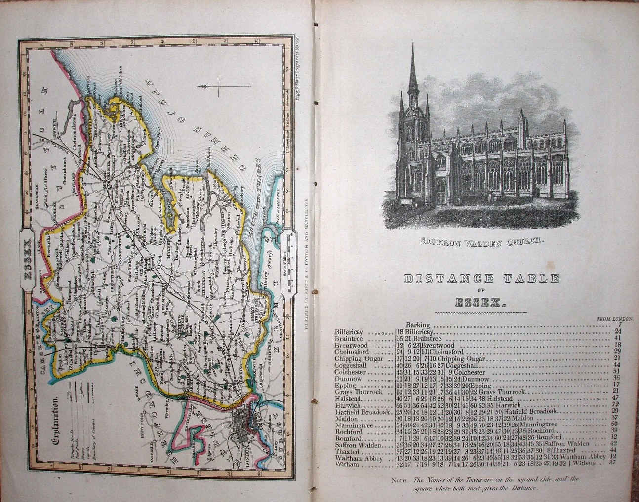
Pigot & Co's Pocket Atlas, Topography and Gazetteer of England. No 14 Essex
Pigot & Co's Topography and Gazetteer of England was issued in 1835 (re-issued 1842 & 50), and then as Pigot & Co's Pocket Atlas, Topography and Gazetteer of England in 1839.
Displayed scale of 10 miles = 20.5mm, or 12.4 miles/inch; actual scale of 12.7 miles/inch, or 1:800,000.
The map is part of a booklet with a drawing of Saffron Walden church, a distance table for Essex, and 30 pages of notes on the county.