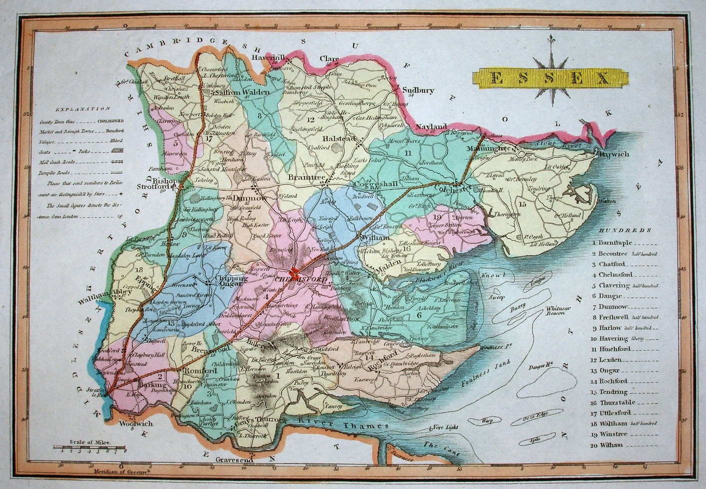
New & Correct Atlas of England and Wales
A brightly coloured map with prominence given to all main roads, and to hills in the centre and southern parts only.
Displayed scale of 8 miles = 26.8mm, or 7.6 miles/inch; actual scale 7.9 miles/inch, or 1:500,000.
Engraver's and publisher's imprints have been removed compared to the earlier Wallis 1813 map. From Ellis's New and Correct Atlas of England and Wales, which has a preface date of 1819. Reissued in 1822.