A Complete County Atlas of England & Wales
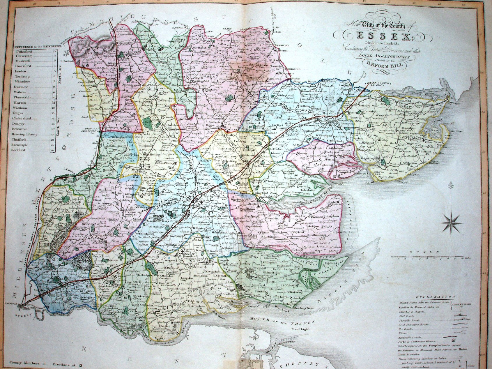
Essentially the same map as Duncan 1833, but now with railways - past Saffron Walden (opened 1845) and past Colchester into Suffolk (opened 1846). It is reused in 1860.
Scale correct at 10 miles = 65mm, or 3.9 miles/inch, ie 1:250,000.
The map's date is estimated from the railways.