English Topography
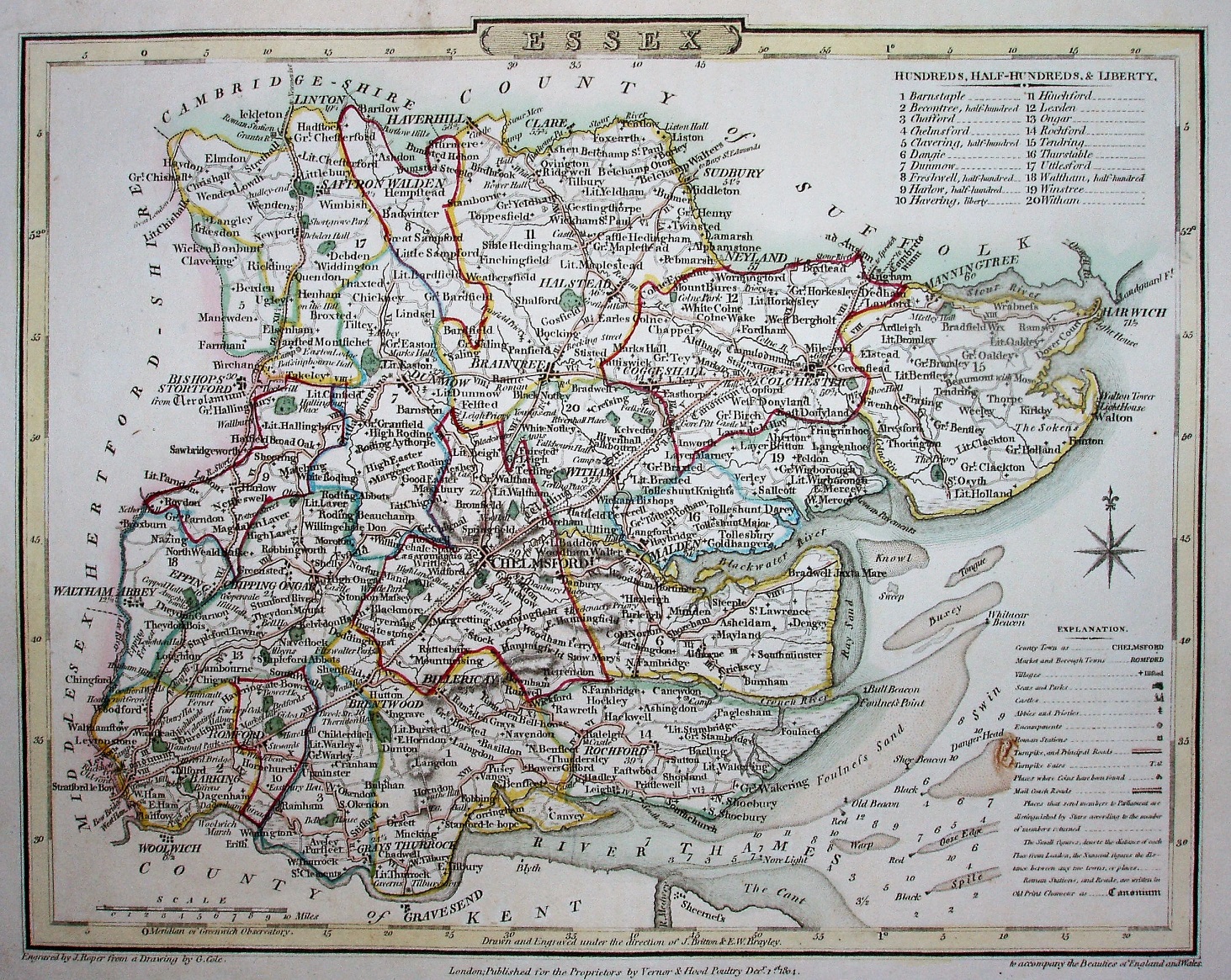
"Engraved by J Roper from a Drawing by by G Cole. London: Published for the Proprietor by Verner & Hood, Poultry Decr 1st 1804. to accompany the Beauties of England and Wales".
Displayed scale of 10+1 miles = 36.4mm, or 7.7 miles/inch, 1:485,000.
The original plates are here being re-used in Joseph Nightingale's English Topography (1816, re-issued 1818 and 1820), with no changes to the maps at all - same footings, no plate number and no box around the Explanation table.