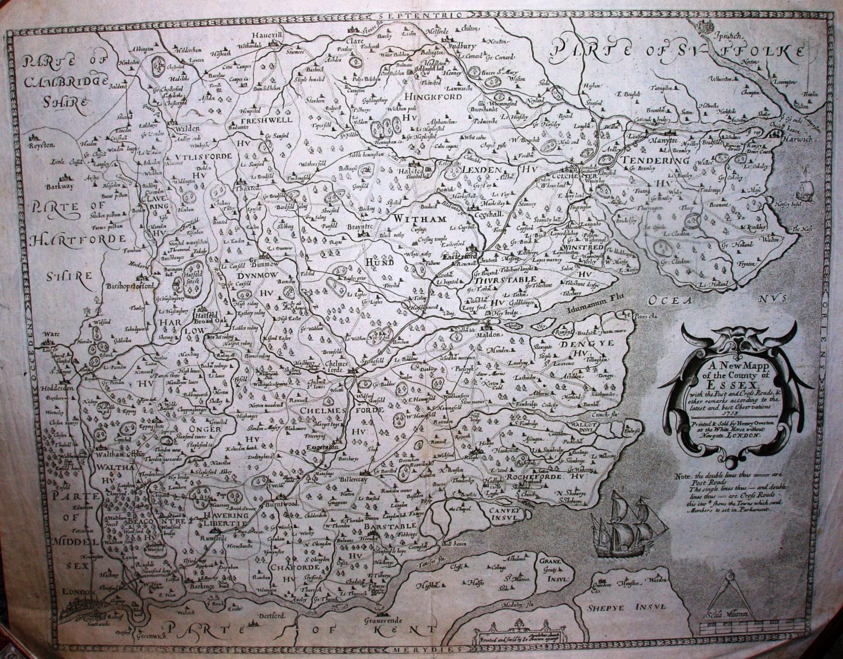
A New Map of the County of Essex
Smith's 1602 map, with Overton's 1713 cartouche. For many years the original author of these plates was not known, and hence they were (& occassionally still are) referred to as the "Anonymous" maps.
Roads have been added and the cartouche updated, but otherwise it is essentially unchanged since its 1602 debut - ie based on Saxton's 1576 map.
Displayed scale of 6mls = 63.5mm, ie 2.4 miles/inch; scale actual = 3.2 miles/inch, or 1:200,000.