England Displayed
A two volume topographic county atlas describing each county, organised similarly to Camden's Britannia, but generally with original texts.
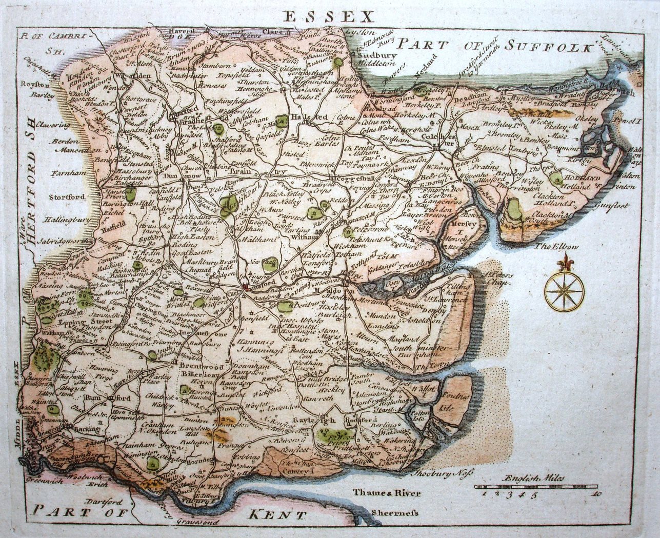
The maps are from Read's Small British Atlas.
The work is useful for its texts, but the maps were by now 16 years old, and very inferior to those in other atlases.
Displayed scale of 10 miles = 40mm, or 6.4 miles/inch; actual scale = 7.4 miles/inch, or 1:470,000.