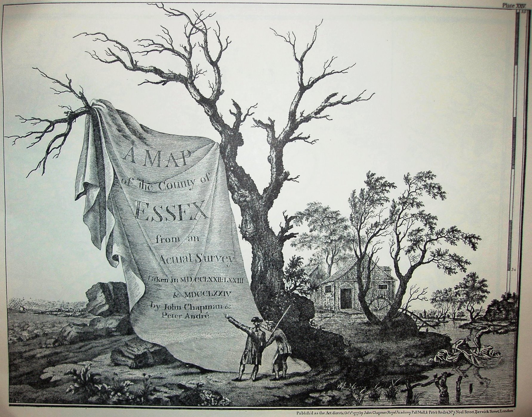
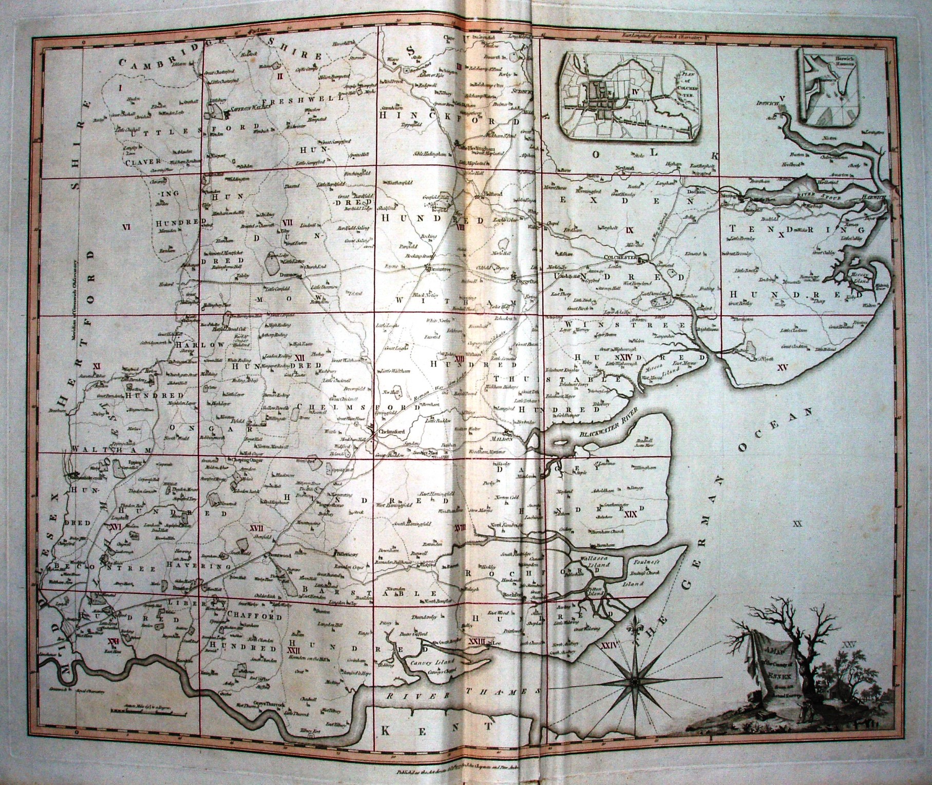
A Map of the County of Essex
At two inches to the mile (1:31,680), this was easily the largest scale map of Essex ever made at that date. It is legendary for its level of detail and accuracy of depiction.
The full list of actually surveyed maps have their own page.
The pages above are the frontispiece (technically sheet 25) and the Index sheet. There is a phenomenal copy of the full map available produced by web designer Tim Fransen.
It was published as a wall map (about 7.3 feet by 9.5 feet) and as an Atlas of 25 pages, most of which are the large scale area maps. One of the pages (sheet 20) has a list of the original subscribers, in alphabetical order within social hierarchy order.
It was re-published by Keymer in 1785, and by Chalk, Meggy & Chalk in 1833.