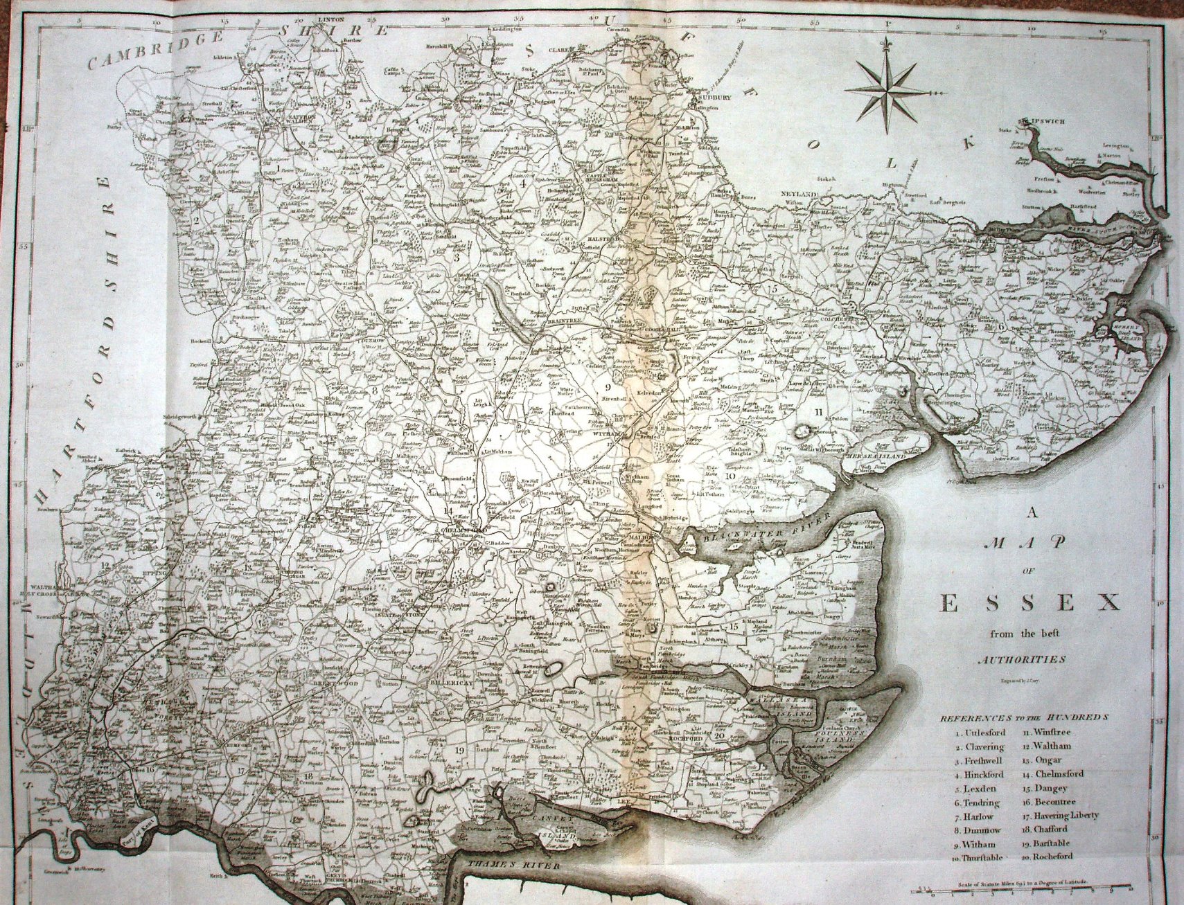
Camden's Britannia
Richard Gough's translation (from latin) of the 1607 edition of Camden's Britannia, with new maps drawn by E Noble and engraved by John Cary.
The maps are about double the size of Cary's earlier New & Correct English Atlas.
It was re-issued in 1806, and the maps also appear in Cary's New British Atlas in 1805 (re-issued 1809 & 12).
Displayed scale of 10 miles = 94mm, or 2.7 miles/inch; actual scale = 2.8 miles/inch, or 1:175,000.