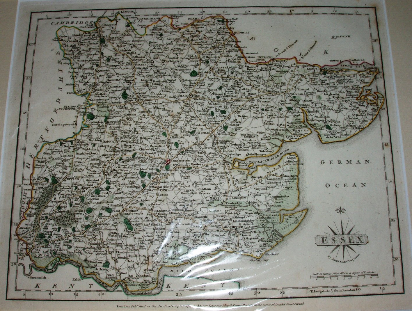
New and Correct English Atlas
Initially published in 12 parts in 1787-88, this atlas was the first to use the many newly surveyed county maps around England & Wales; Essex is based on Chapman and Andre's atlas/map of 1777.
The atlas was quickly recognised as being more up to date and accurate than anything else on the market, and superseded The Large English Atlas as the defining county atlas of the century.
The maps are now in the classical style, as opposed to the rococo style of Bowen & Kitchin. The atlas was re-issued in 1793, 95, 1802, 04 & 08, then with freshly engraved plates in 1809, 12,18, 21, 23, 27 & 31 - and eventually turn up in Cruchley's railway maps in the 1860s.
Displayed scale of 10 miles = 46mm, or 5.5 miles/inch; actual scale = 5.7 miles/inch, or 1:360,000.