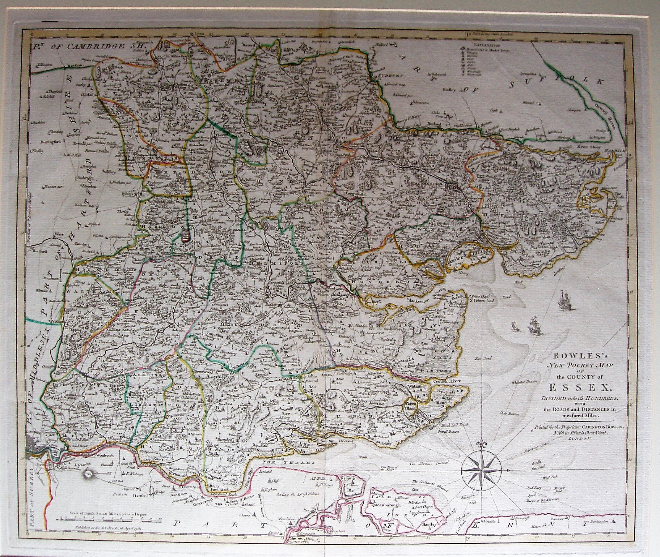
Bowles's New Pocket Map of the County of Essex
This is a variant version of Bowen & Kitchin's Royal English Atlas published in 1778.
Given the latter can trace its information back to a 1760 map calling it "new" does seem to stretch the truth.
Scale correct at 10 miles = 83.5mm, or 3.0 miles/inch, ie 1:190,000.