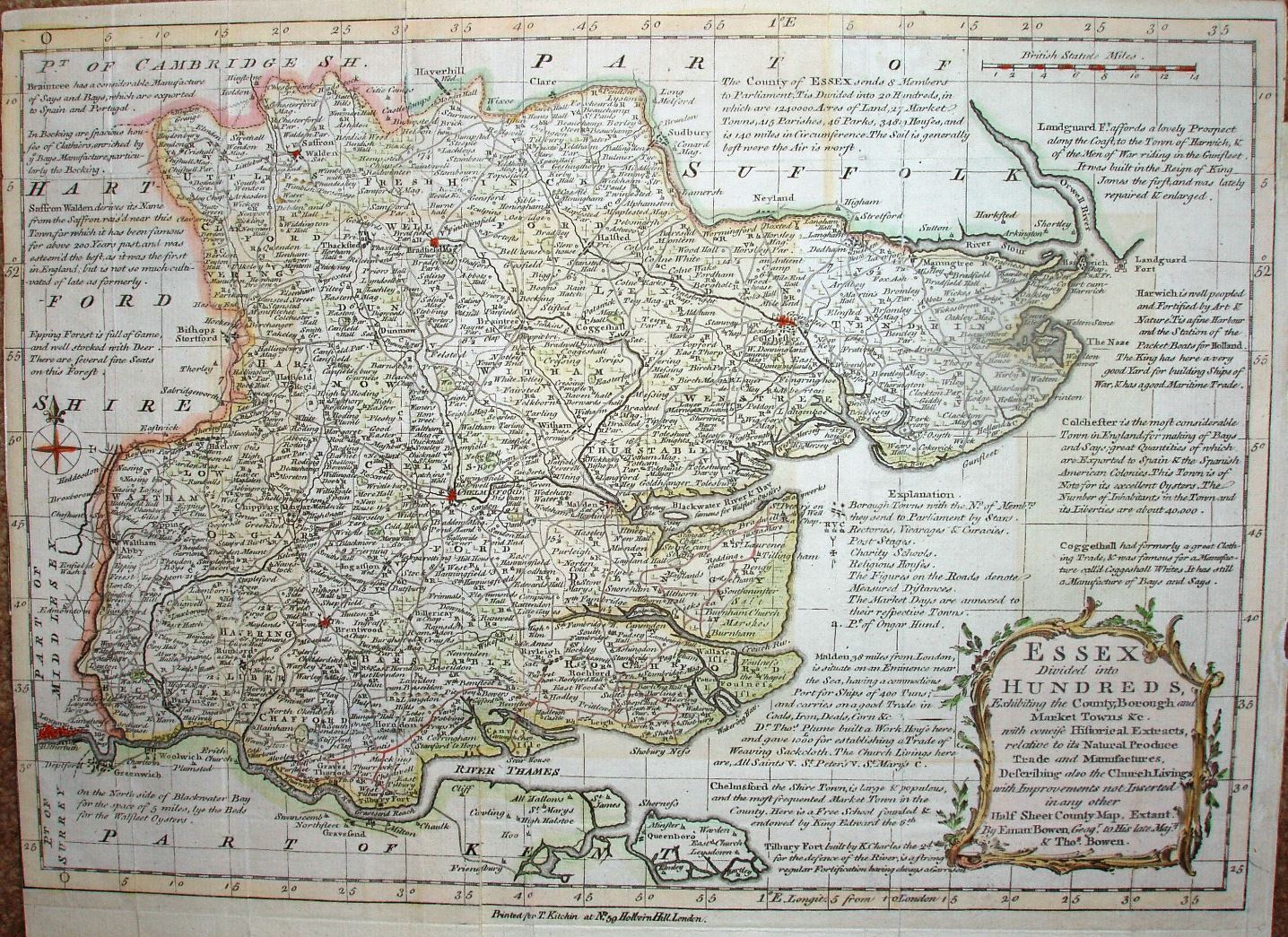
Atlas Anglicanus
This was first published as a part work from 1767 to 1768, and then as an atlas in 1768.
This is the 2nd edition form, as does not have an "8" in the top right corner, and has Thomas Kitchin's name across the bottom.
The maps are based on the Royal English Atlas of 1764, and uses abbreviated versions of those notes around the map. This copy could be from a 1768 atlas, or more likely from the 1777 re-print. The maps were used again by Bowles in 1785.
Displayed scale of 14 miles = 53mm, or 6.7 miles/inch; actual scale = 5.9 miles/inch, or 1:370,000.