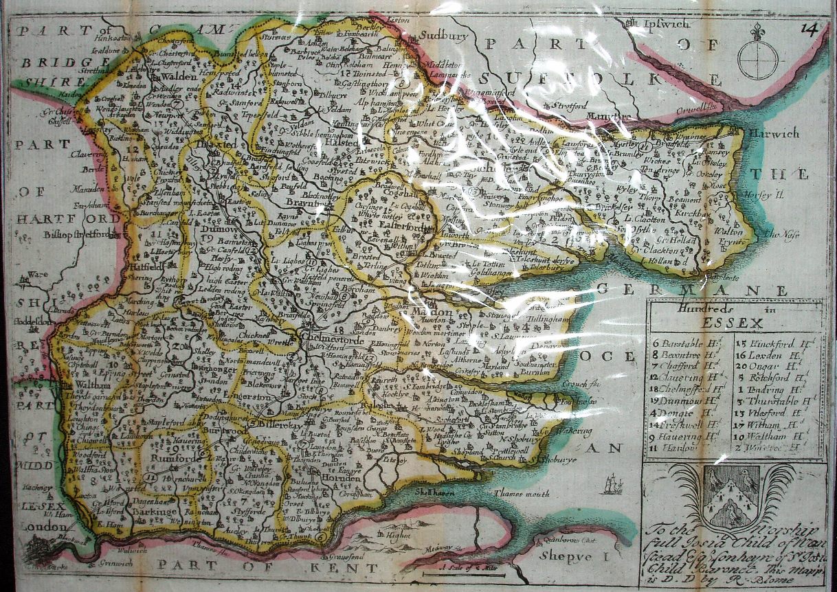
Taylor's England Exactly Described
A copy of Speed's Maps Epitomiz'd of 1681. Blome died in 1705, and at some time (years?) after that the plates were acquired by Thomas Taylor.
Displayed scale of 5 miles = 21mm, or 6.0 miles/inch; scale actual = 8.0 miles/inch, or 1:510,000.
The quality of the work is still extremely poor. The whole of the cartouche and index in the bottom right corner is just woeful.
The dedication and shield have changed from the 1681 edition of the maps.