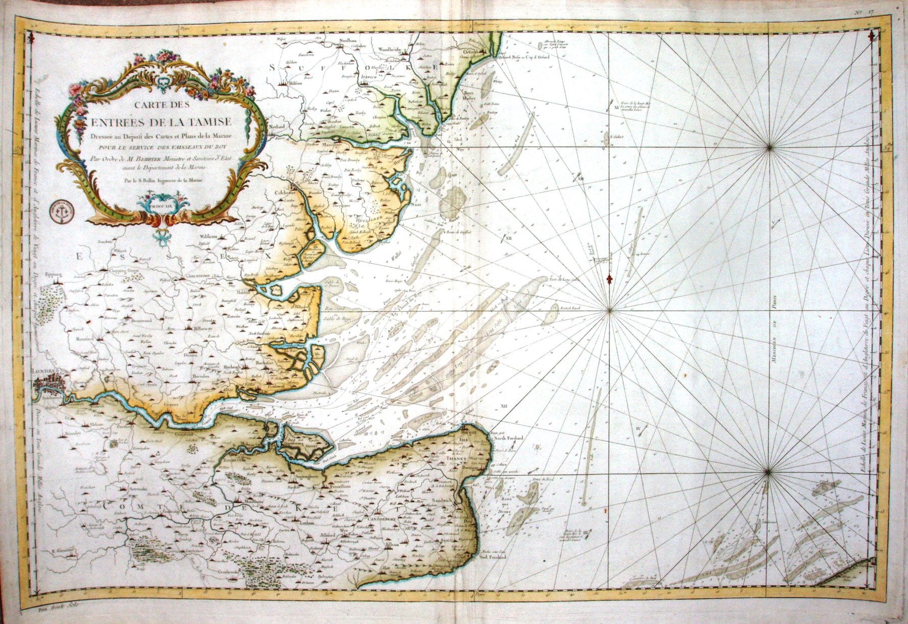
Carte des Entrees de la Tamise
The meridian is based on Paris.
Whilst it has a lot of detail of sand banks and similar, it also has a lot of places inland marked, so it appears to be a decorative chart rather than a sea going one.
Displayed scale of 69 miles = 54.1mm, or 37 miles/inch; actual scale = 3.8 miles/inch, or 1:240,000. The scale is wrong by a factor of about 10 - did someone misread their data? It got better on his 1764 map.
Outsde top right: No 17. Outside bottom right: Prix trente sols.