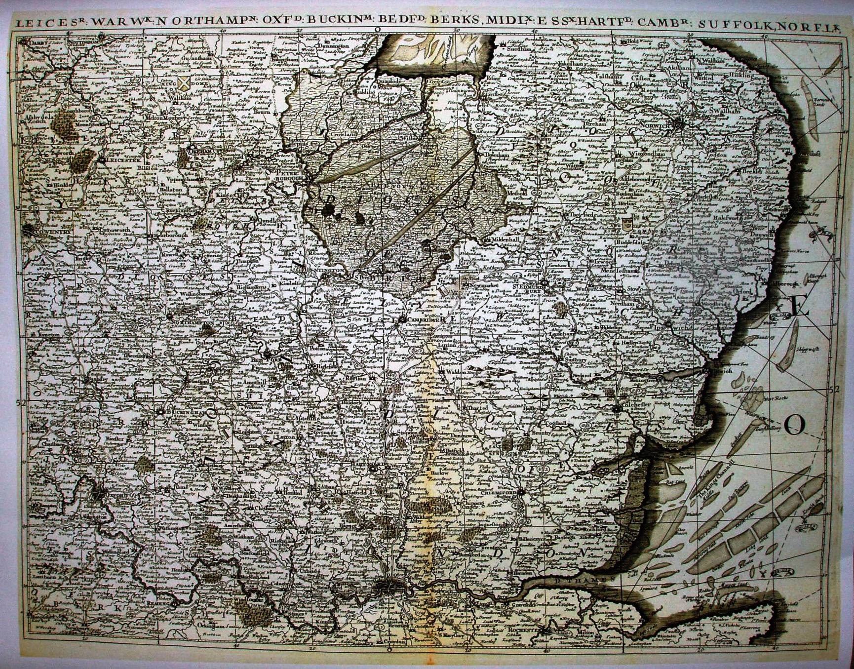
The Kingdom of England and Wales (ie "The Quartermasters' Map")
First issued in 1644, "Useful for all commanders for quartering of soldiers, and all sorts of persons, that would be informed, where the armies be".
Picture of a print, not an original.
No displayed scale; scale actual = 5.6 miles/inch, or 1:350,000.
Sea battles marked, eg 1652. Counties have shield crests. Latitude and longitude are marked (from St Pauls).