Camden's Britannia
The 6th edition of Camden's Brittania in 1607 was the first one to have maps, with Latin text (the whole work being in Latin) on their backs. There are subsequent versions in 1610 and 1637 - although the maps themselves never change.
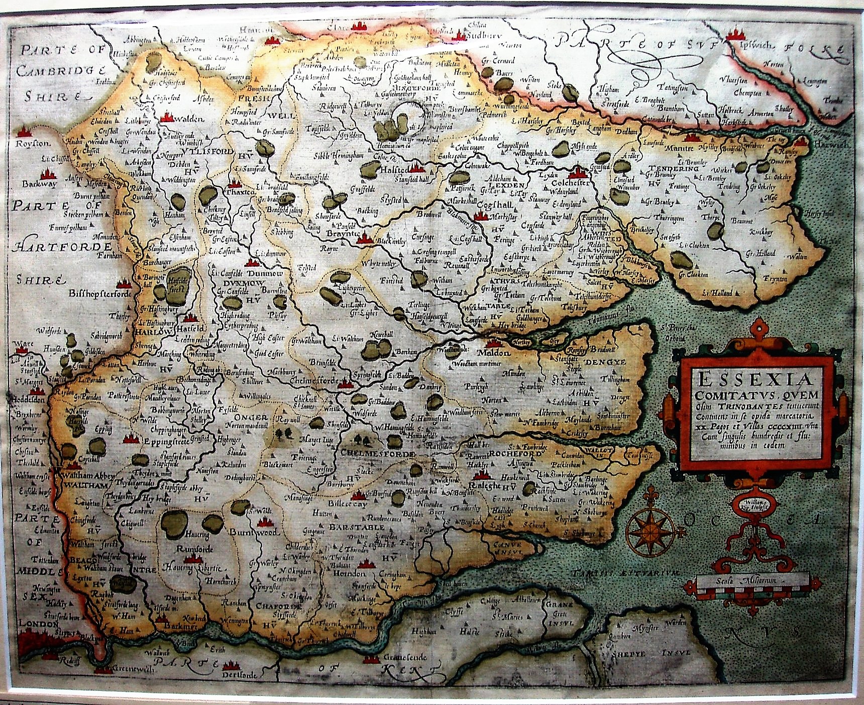
The maps were engraved by Hole and Kip, the Essex one by Kip, but are derived from Saxton.
Displayed scale of 6 miles = 50mm, or 3.0 miles/inch; scale actual = 4.3 miles/inch, or 1:270,000.
These maps are readily available from dealers, but many copies seem to have very strong colouring, indeed garish at times.
Following Saxton rather closely, there are no roads shown, and the positional errors of Saxton (eg for Audley End, Newport, etc) survive in this map.