Poly-Olbion
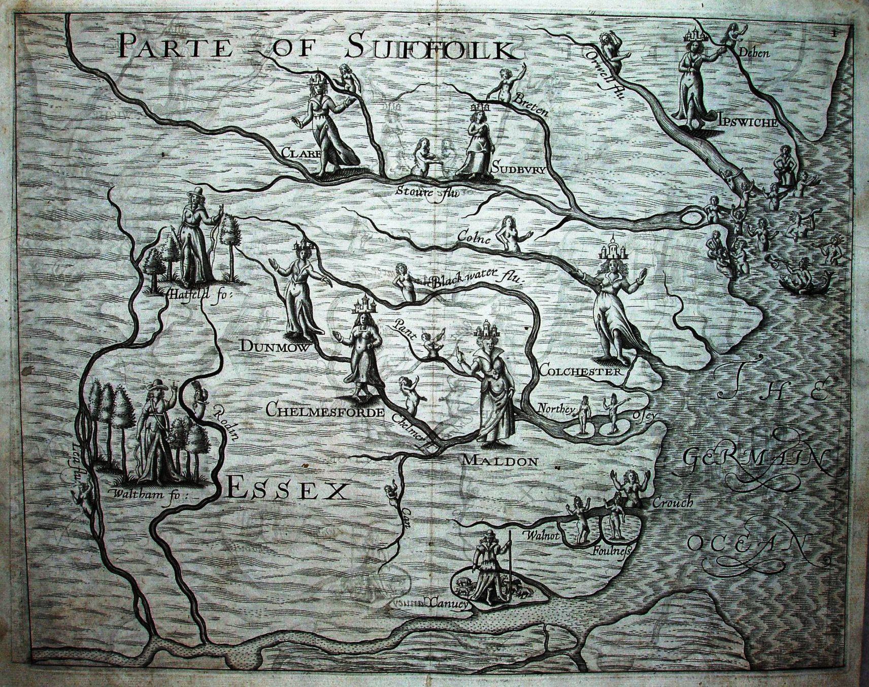
Poly-Olbion was first published in 1612 with 18 maps, but Essex was only covered when Part 2 was issued in 1622 (one of 12 extra maps). The maps illustrate the poems, one per county. The maps feature allegorical figures representing water-nymphs, hunters, etc, which are drawn close to the features - notably of rivers.
On the Essex map we get very few towns, but most of the major rivers - although the Lea goes far too far northwards, the Stour far too far westwards and the Cam is omitted.
Scale actual = 6.0 miles/inch, or 1:385,000.
Calling these maps at all is a bit of a stretch - really you have the map (or at least a coastal outline plus rivers) as a background to the figures. There is no scale, grid, latitude/longitude or compass rose.